ship’s log 17: from Harlingen to Germany’s only offshore Island
We’re back to checking tides and currents. Yay.
This means early mornings or late evenings again, because we have to adapt to the roughly 6-hour rhythm of the tides. As you might know, there is either high tide or low tide about every six hours, and then the whole process starts again.
For us, this means that we usually have to leave the harbours around high tide, so the current helps us get back out into the open sea. If we miss this window, we either wait another 12 hours or we fight against the current.
Of course, having the current with you is amazing. Here in the Dutch and German North Sea, it can make you up to 3 knots faster. But having it against you is a completely different story. Imagine planning a trip that should take 10 hours and then, at some point, feeling like your boat is barely moving forward. That’s the reality of sailing in tidal waters.
With that, I can now tell you the story of our journey from Harlingen, Netherlands, to Helgoland, Germany's only offshore island.
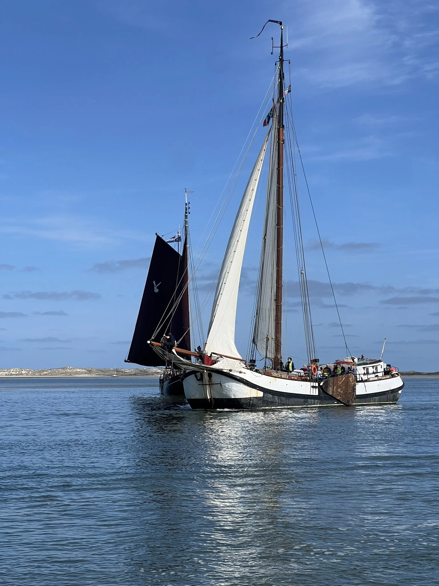
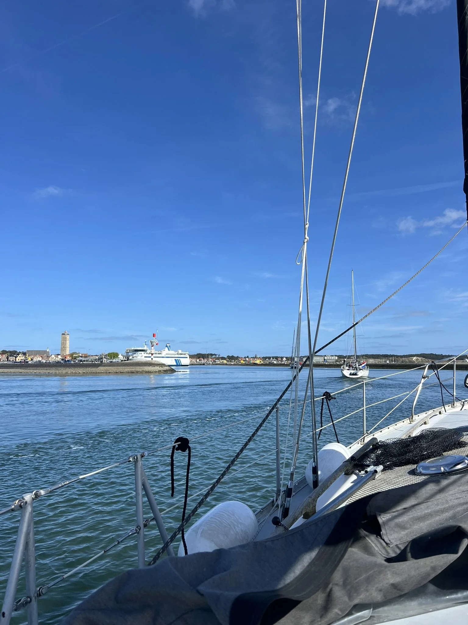
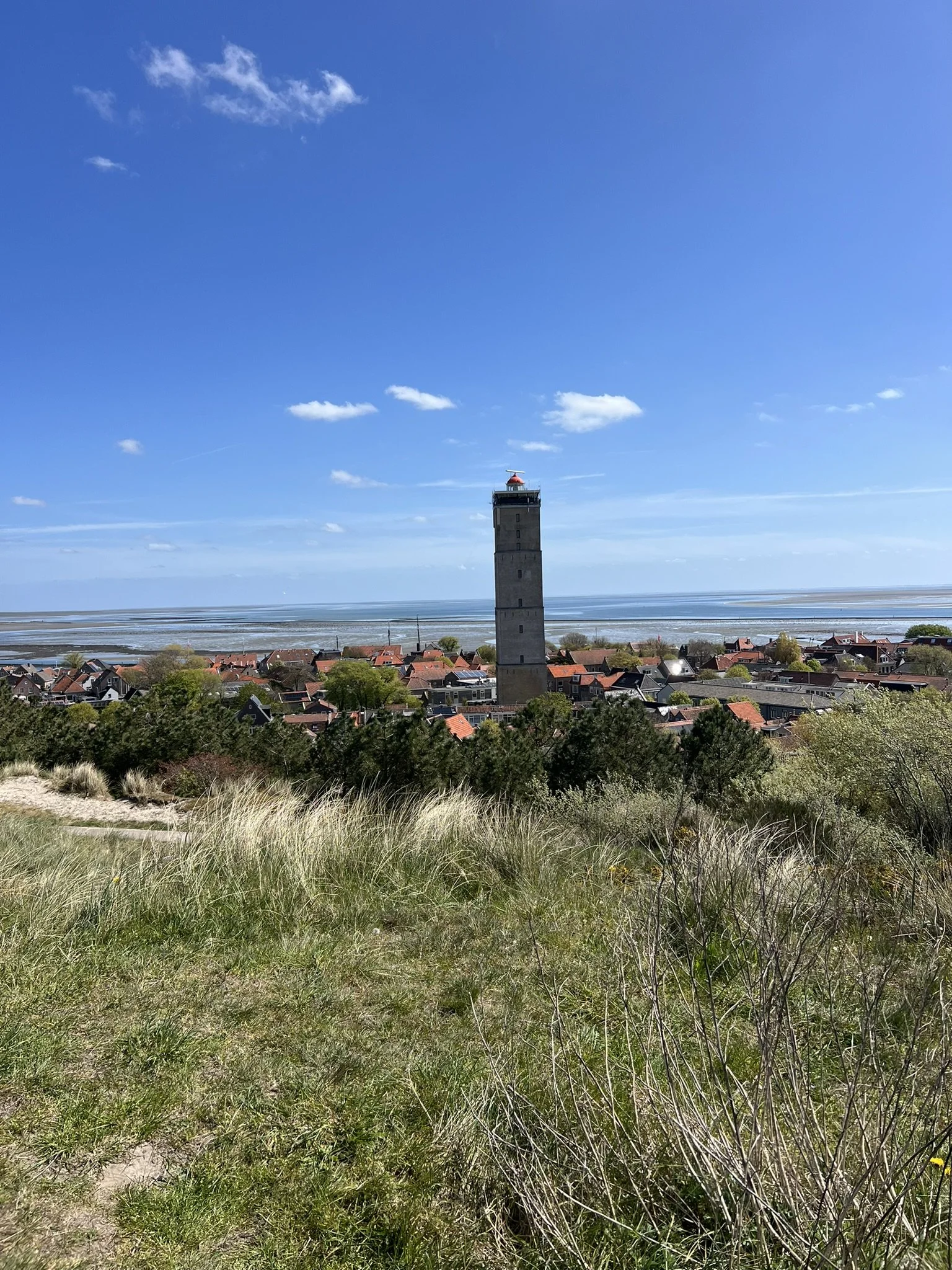
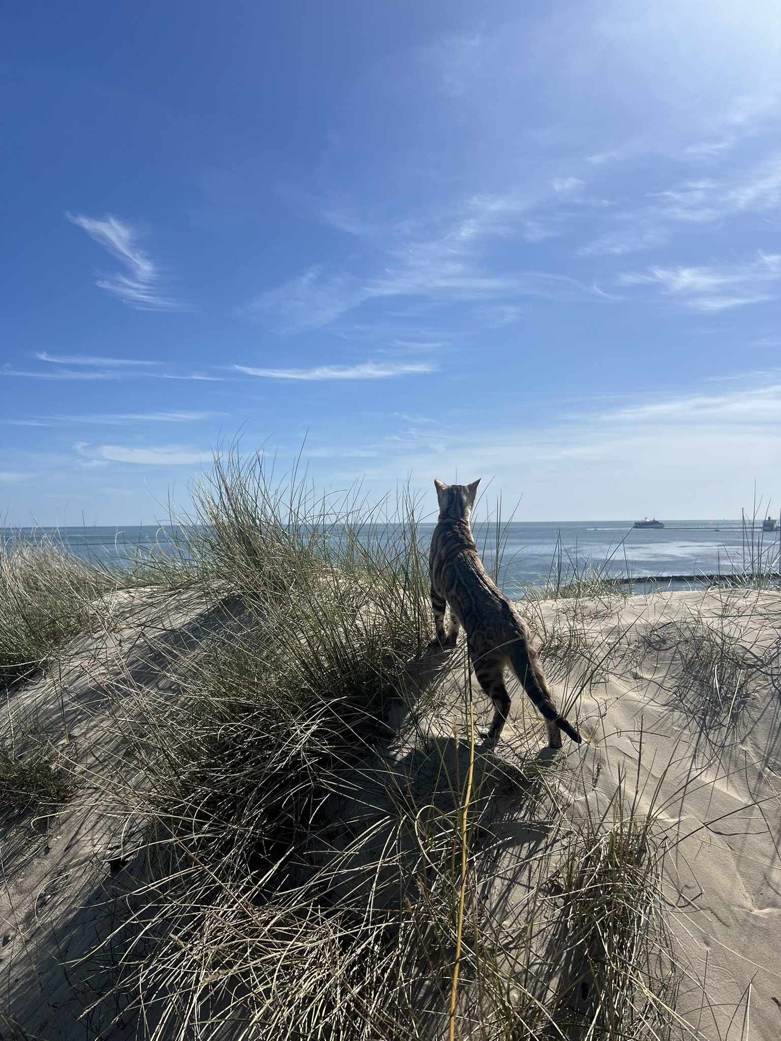
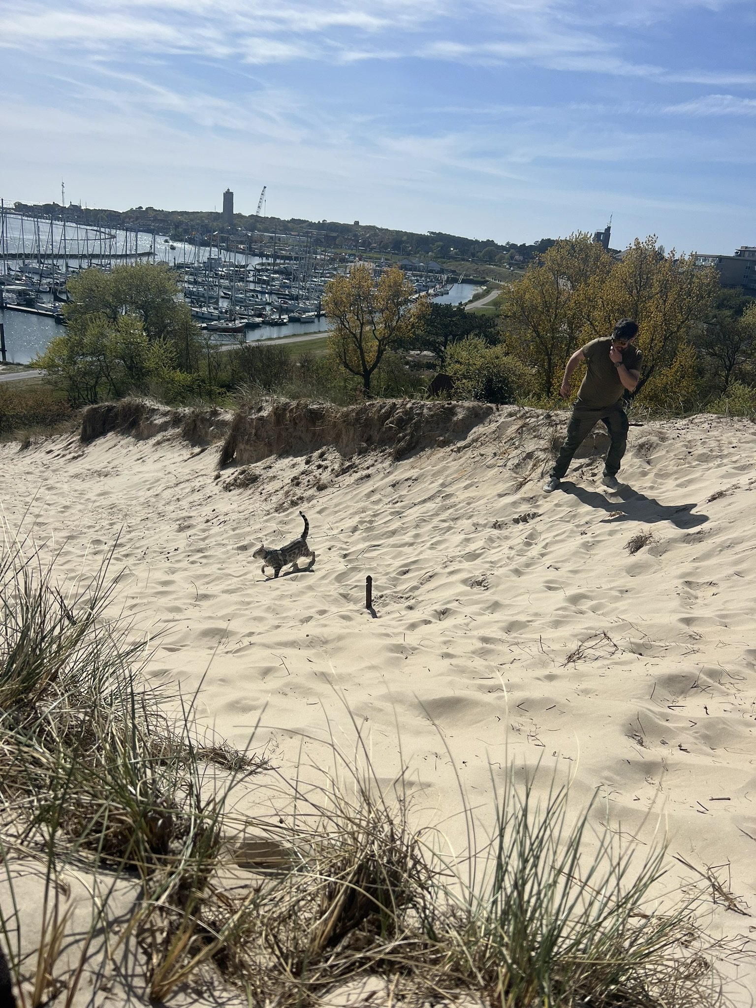
The way from Harlingen to Terschelling was not too far, and since it was a long weekend in the Netherlands, many boats were making the same journey to get out to Terschelling. This meant we had a nice group of boats around us to follow because they (hopefully?) all knew what they were doing.
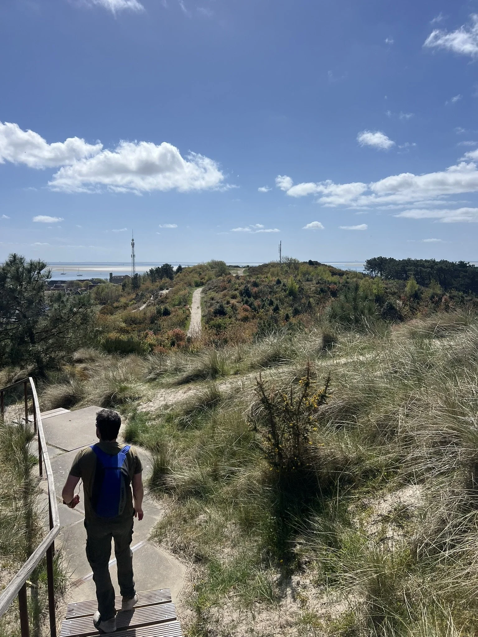
After a lovely day on this beautiful island, we had to leave again because we had a good weather window coming.
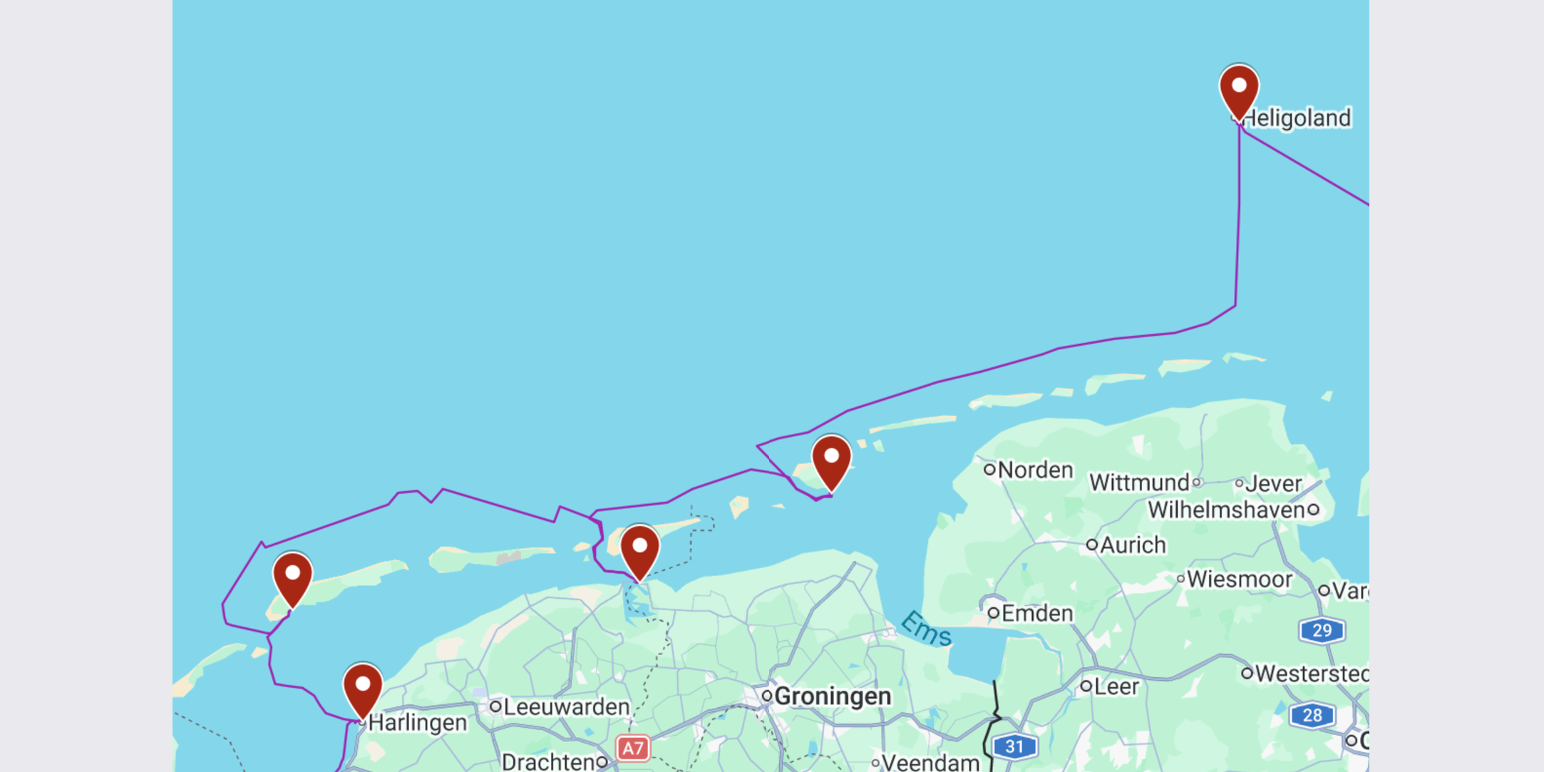
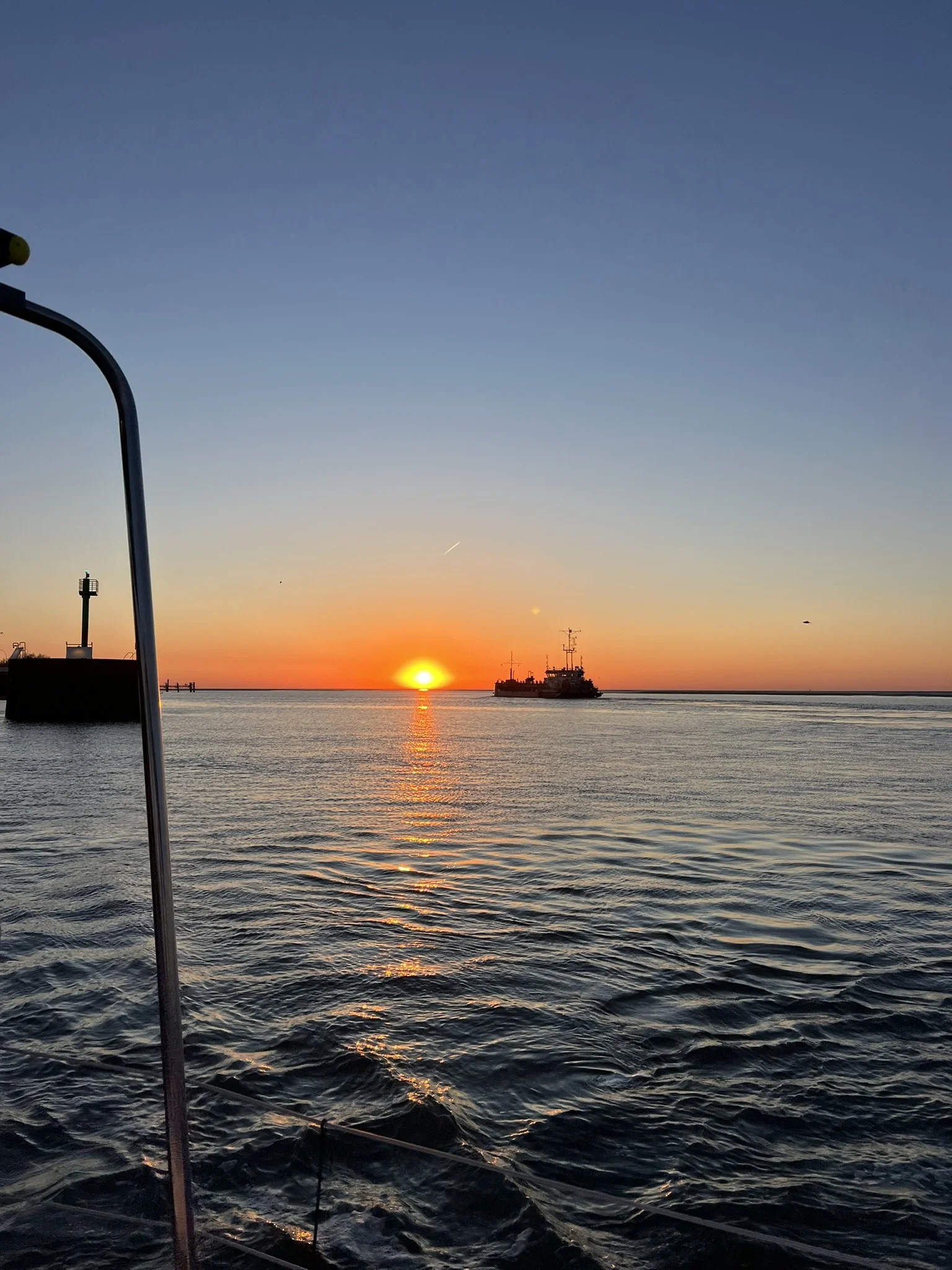
Our plan was to leave Terschelling with the outgoing tide and sail as far as possible. The goal was to make it all the way to Borkum in Germany, which would have been no problem if it wasn’t for the currents.
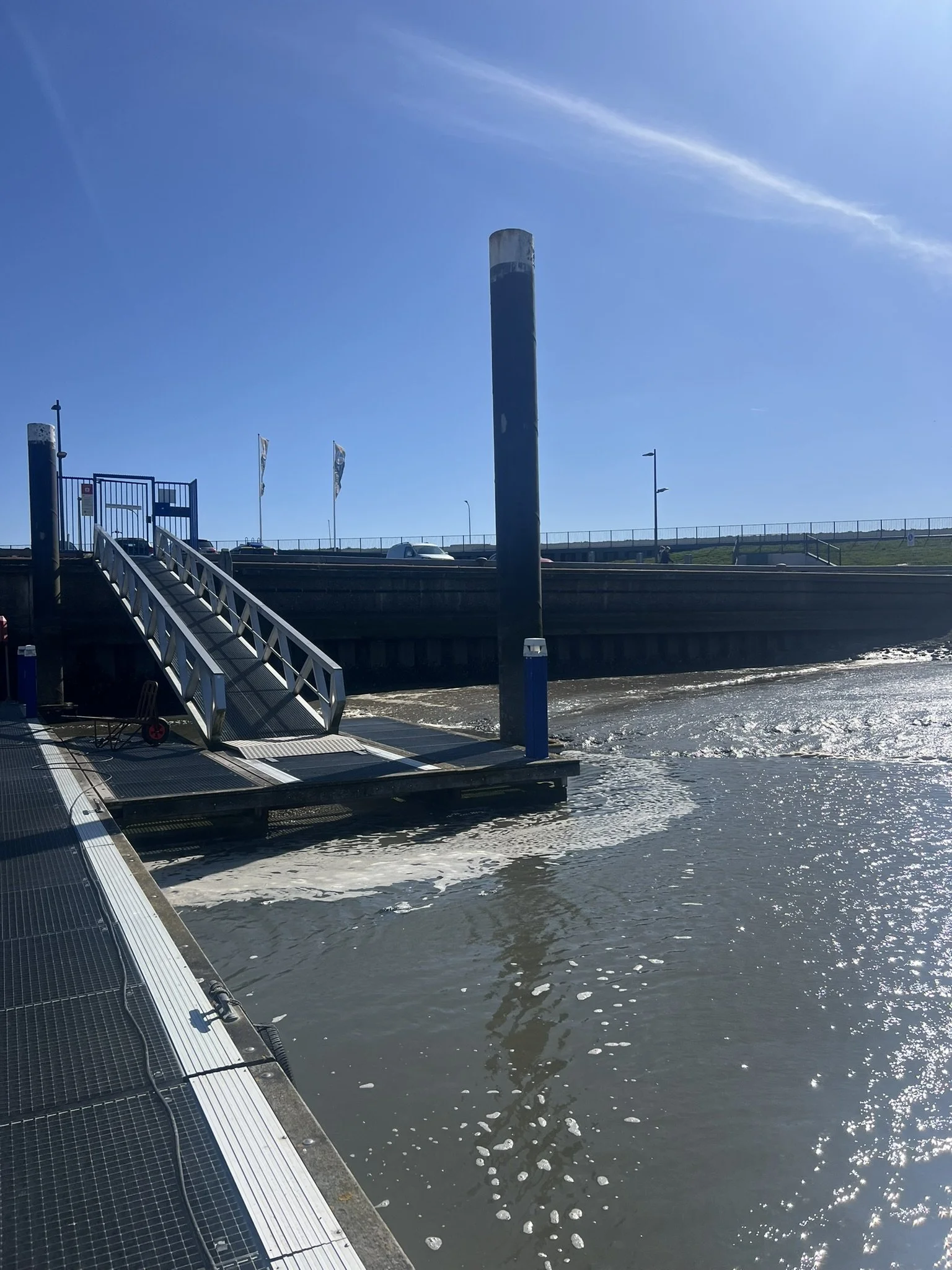
At this point, you might think that everything should simply balance out because the tide changes every six hours, right? However, there is a big complication: many harbours along this coastline are located behind the islands because of the shelter. This means it takes a long time to get into them from the open water, and the same applies when exiting them again. Sometimes two hours or more.
This is why choosing the right moment is so important.
The tides in this area can rise and fall between 2 and 4 metres, depending on the phase of the moon. This makes building and maintaining harbours much more complicated, expensive, and time-consuming, which, together with the rough conditions of the North Sea, also explains why there are fewer harbours available along this coastline.
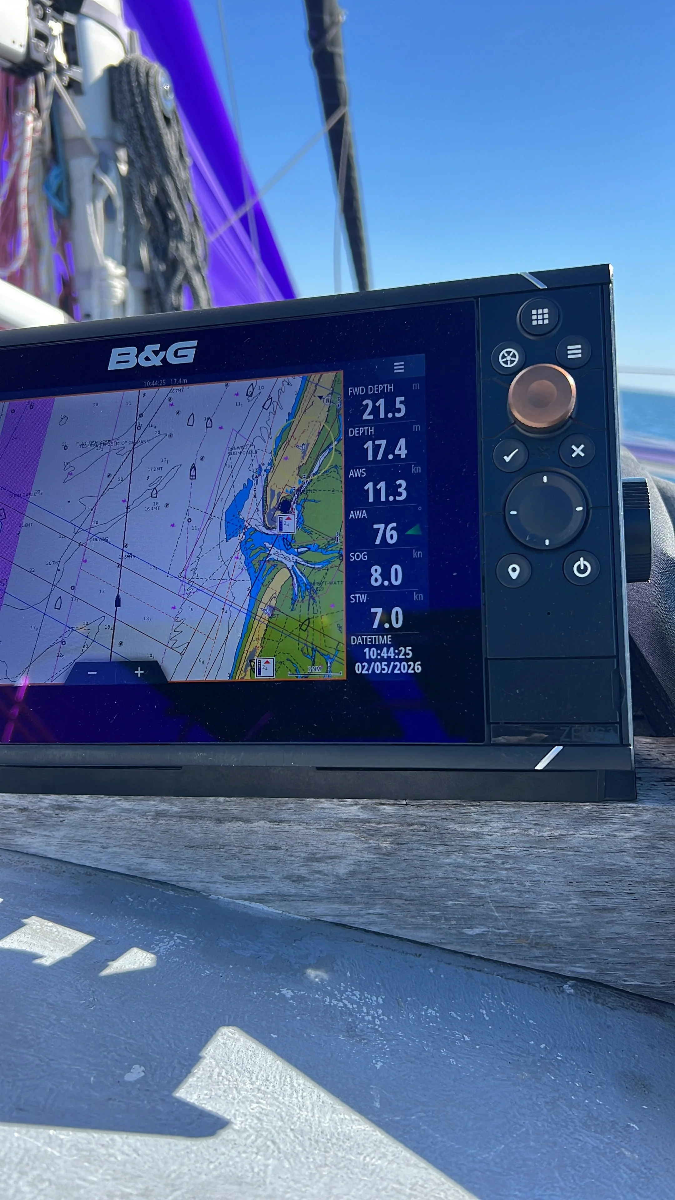
After leaving Terschelling, we decided to take the fastest route out to open water. Looking back, this was probably a small mistake. We should have followed the marked route on our chartplotter (navigation computer).
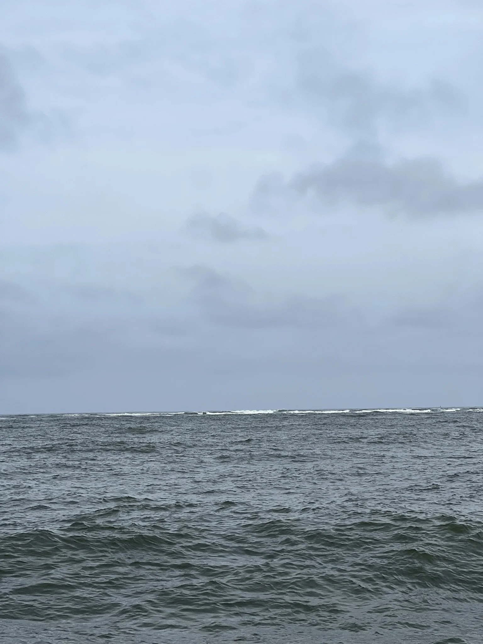
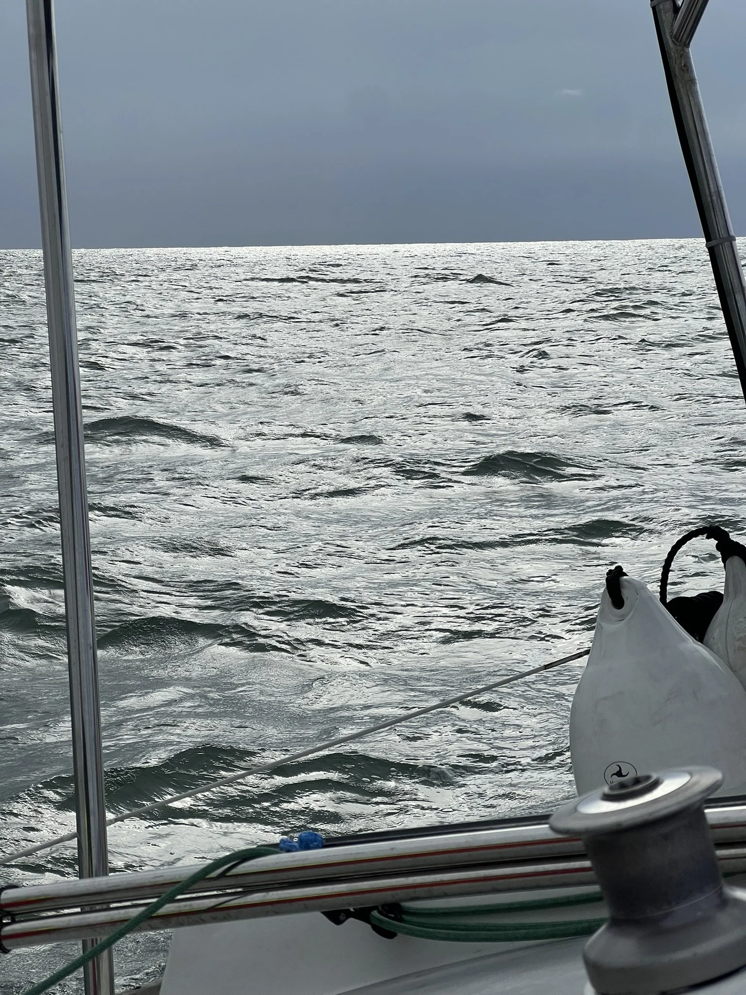
Because we took the shortcut, we had a very quick change in depth, from around 9 meters to 3 metres and back to 12 metres. This led to the sea being much rougher than expected. We crossed the waves head-on, which resulted in some impressive “bangs” as Lìv climbed up a wave, lifted her bow out of the water, and then came crashing back down about 3 metres below.
Once we reached open water, we had some great sailing. However, we were not completely happy with our progress. After a few hours, we realized that we did not feel ready to continue all the way to Borkum in Germany.
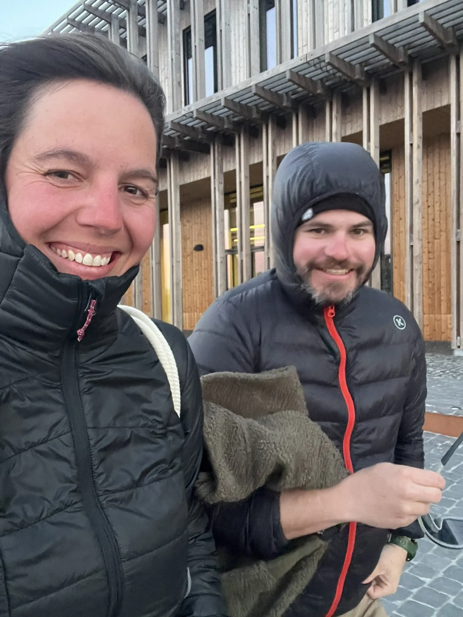
After all, we had never done an overnight sail with just the two of us. I (Karin) had only completed two overnight passages in total, so the thought of keeping watch alone in the darkness of the night made me a little unsure.
We also saw that the weather was going to get rougher over the next few days, which was another reason not to push our original plan.
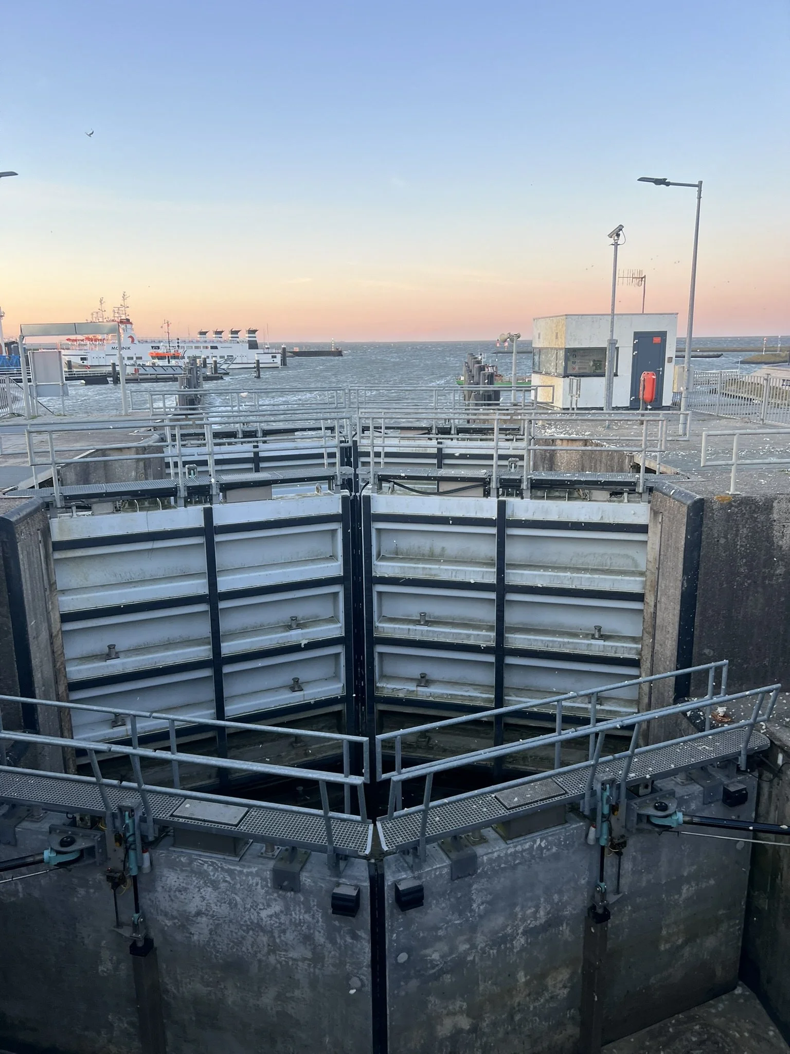
So we decided to turn right and make our way into Lauwersoog. As you can see on the map above, Lauwersoog is quite far inland, which meant a long way in and later, a long way out again.
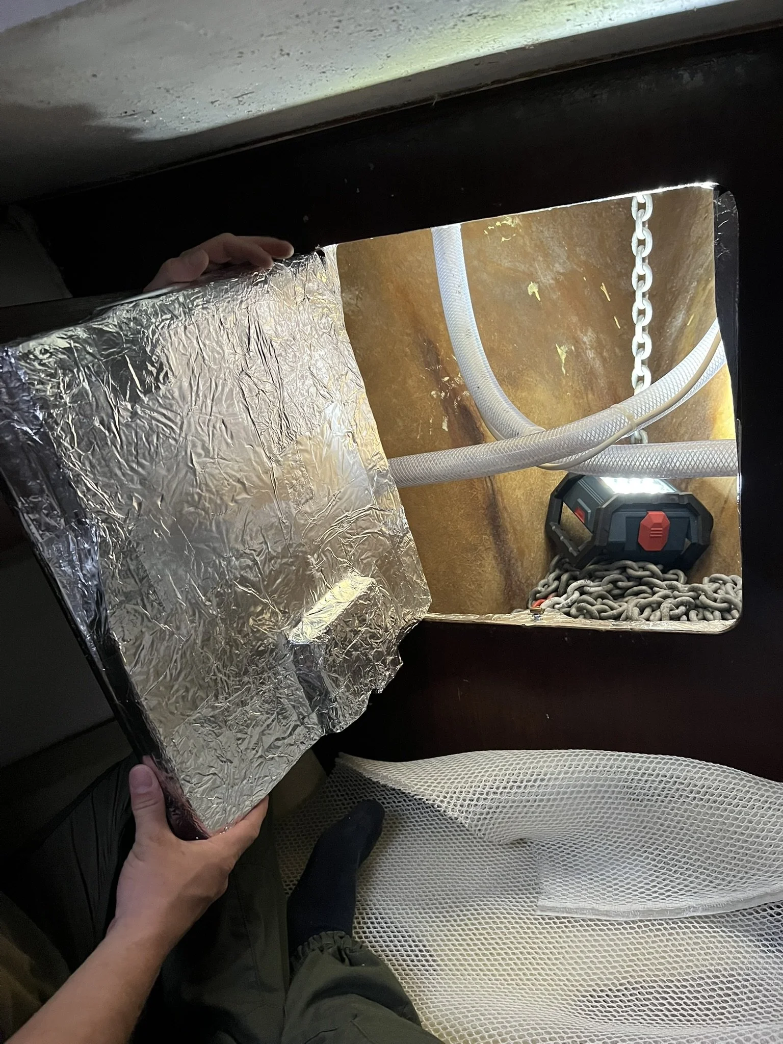
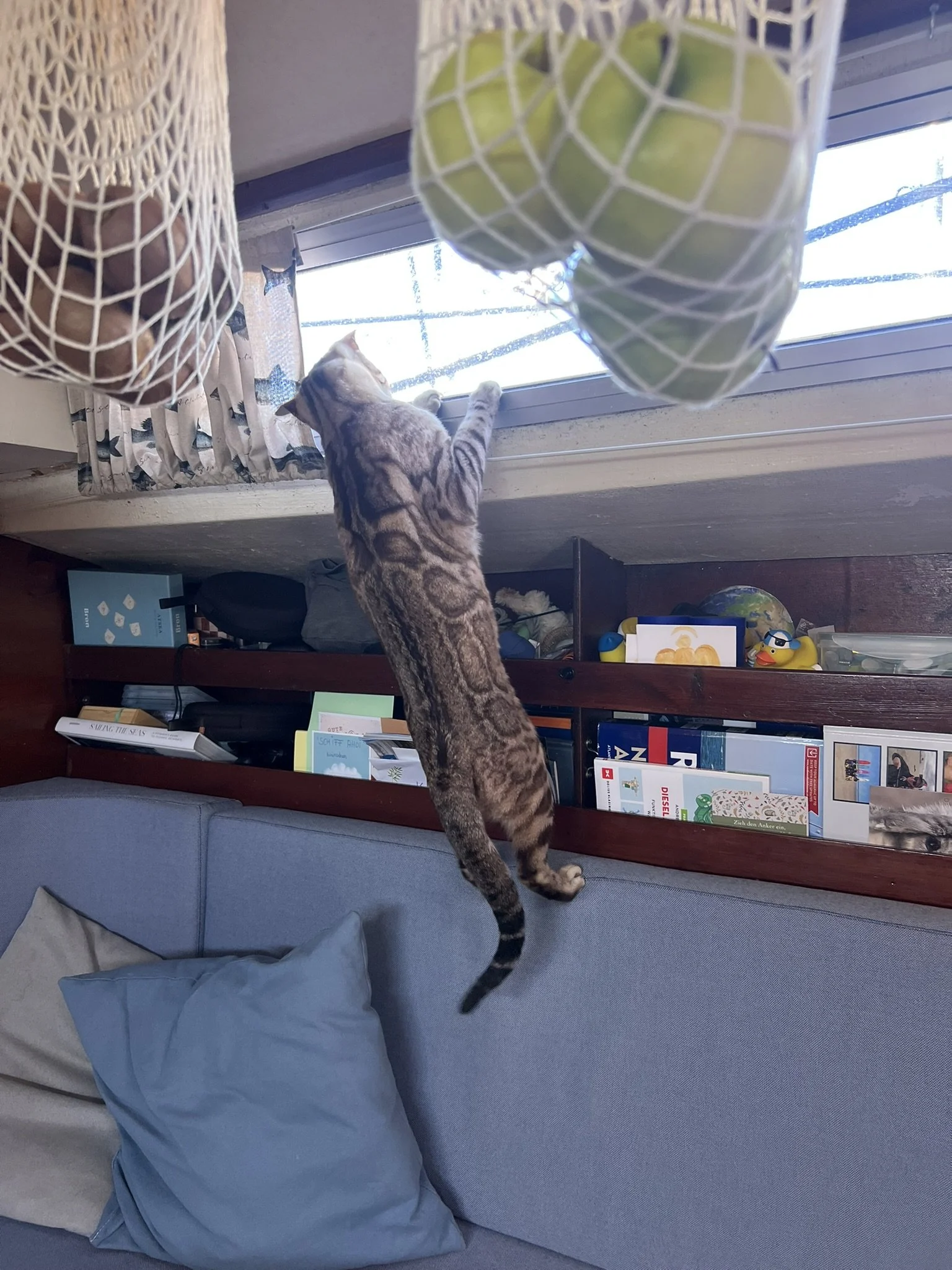
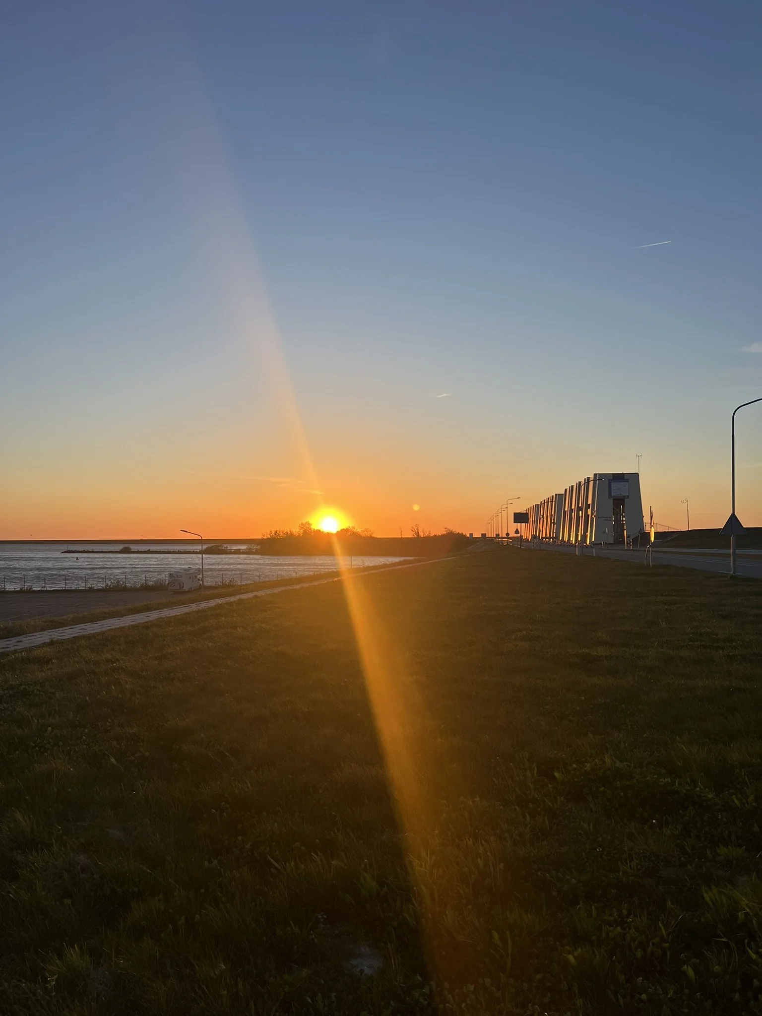
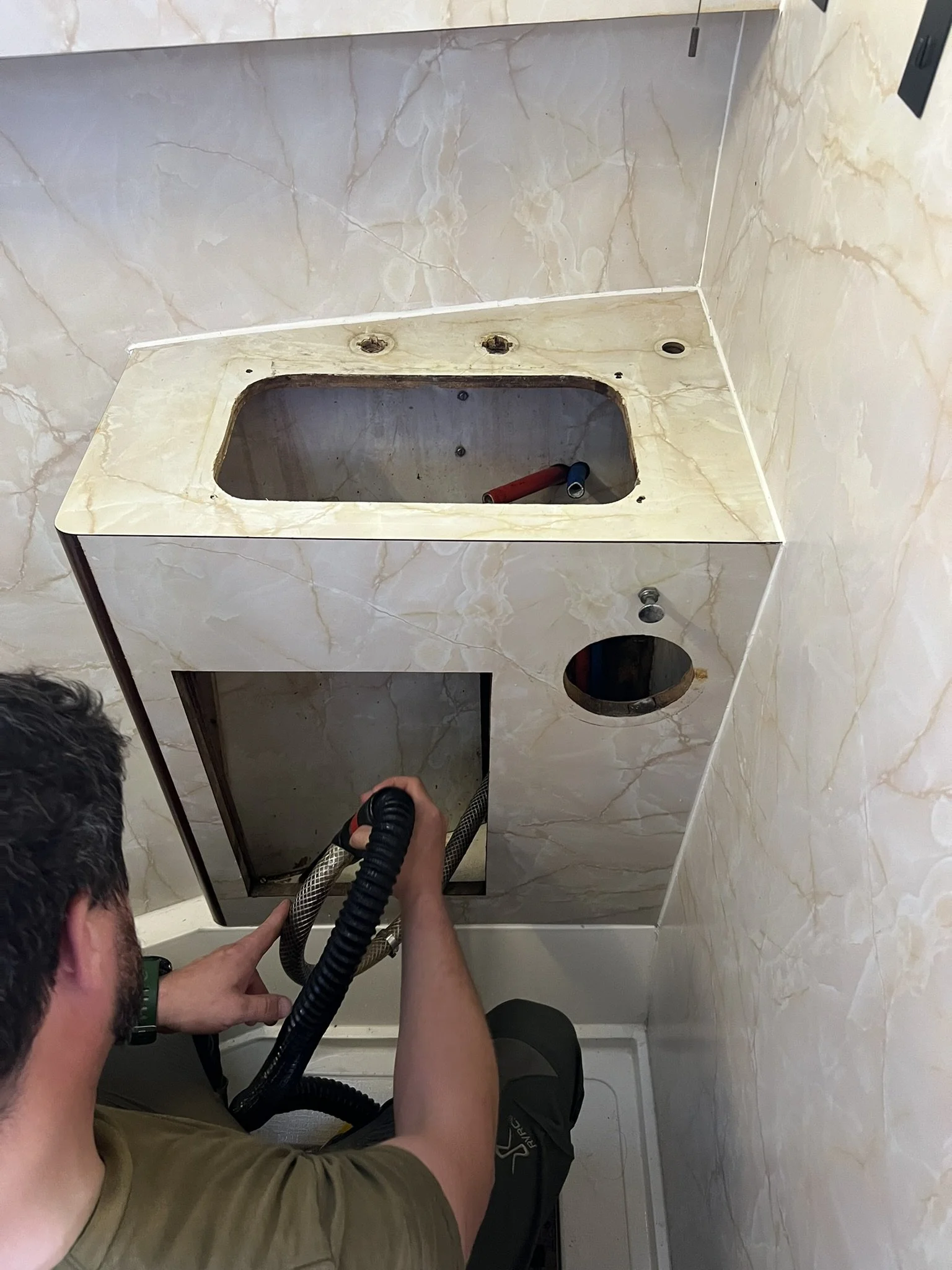
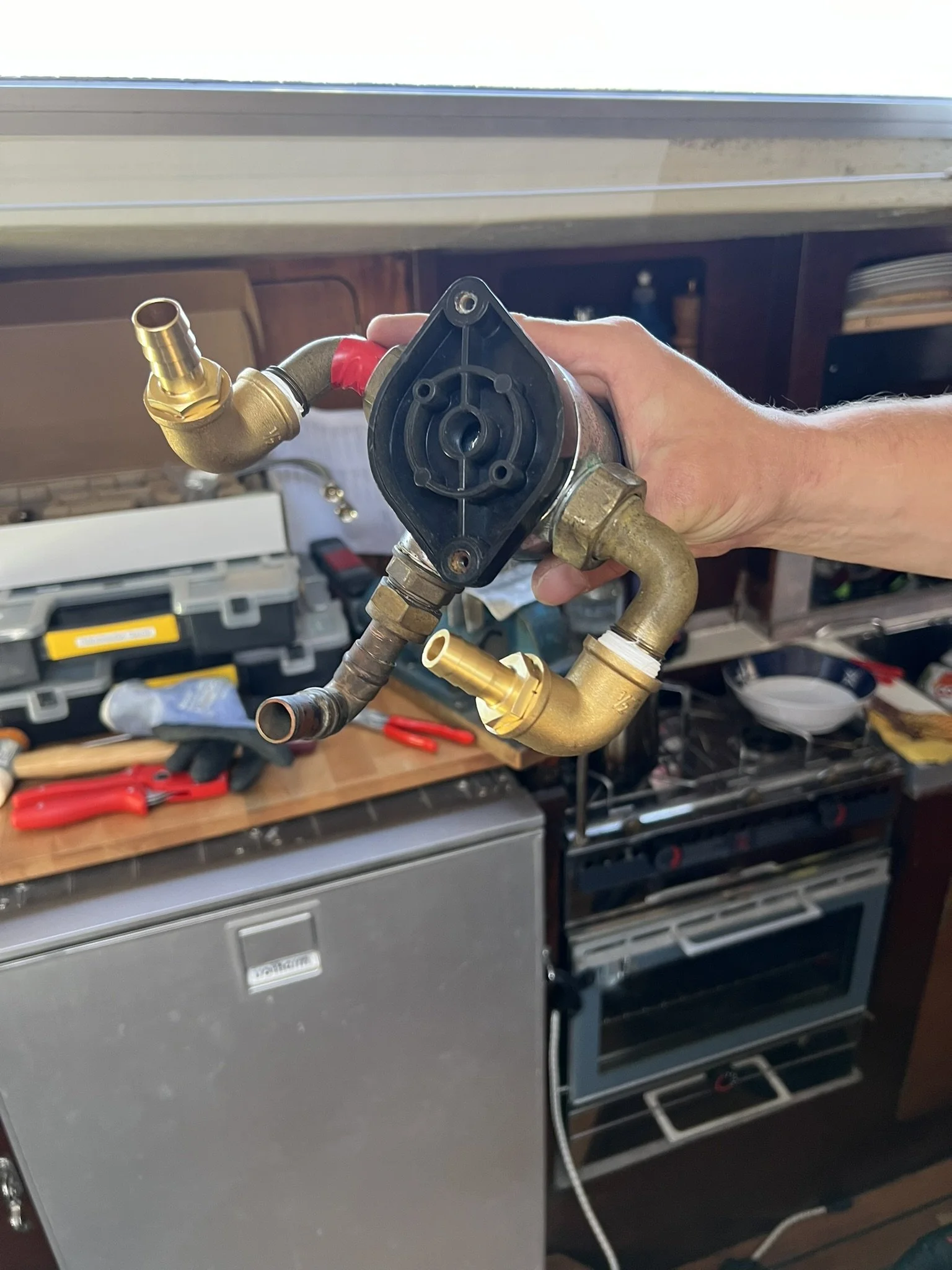
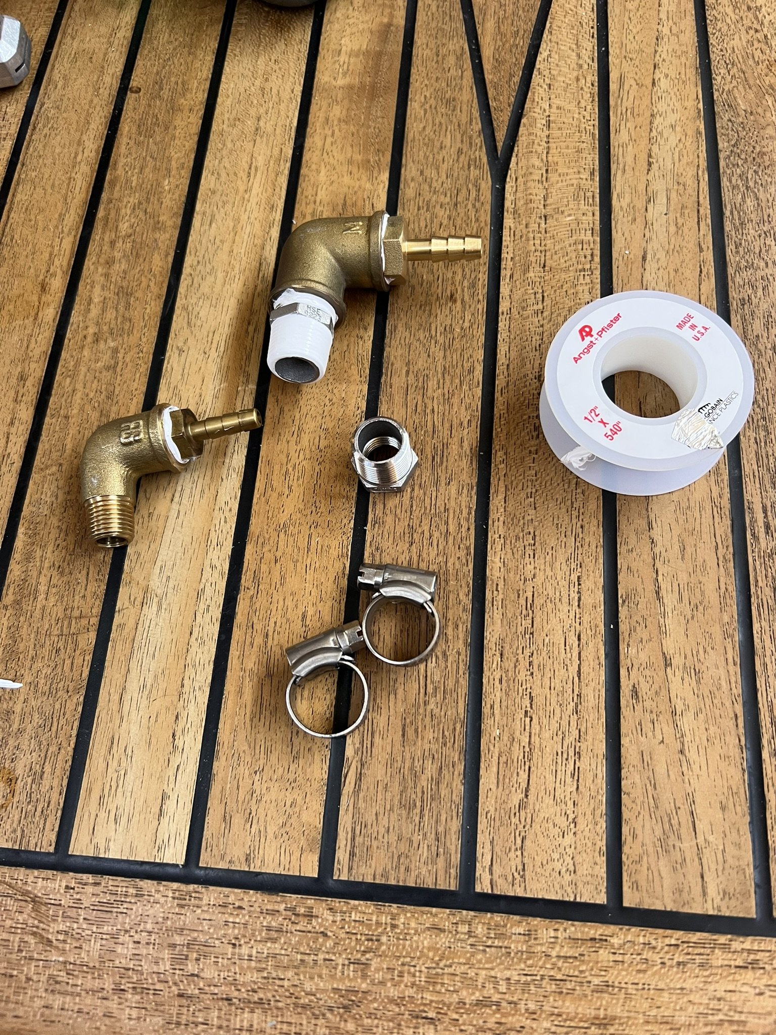
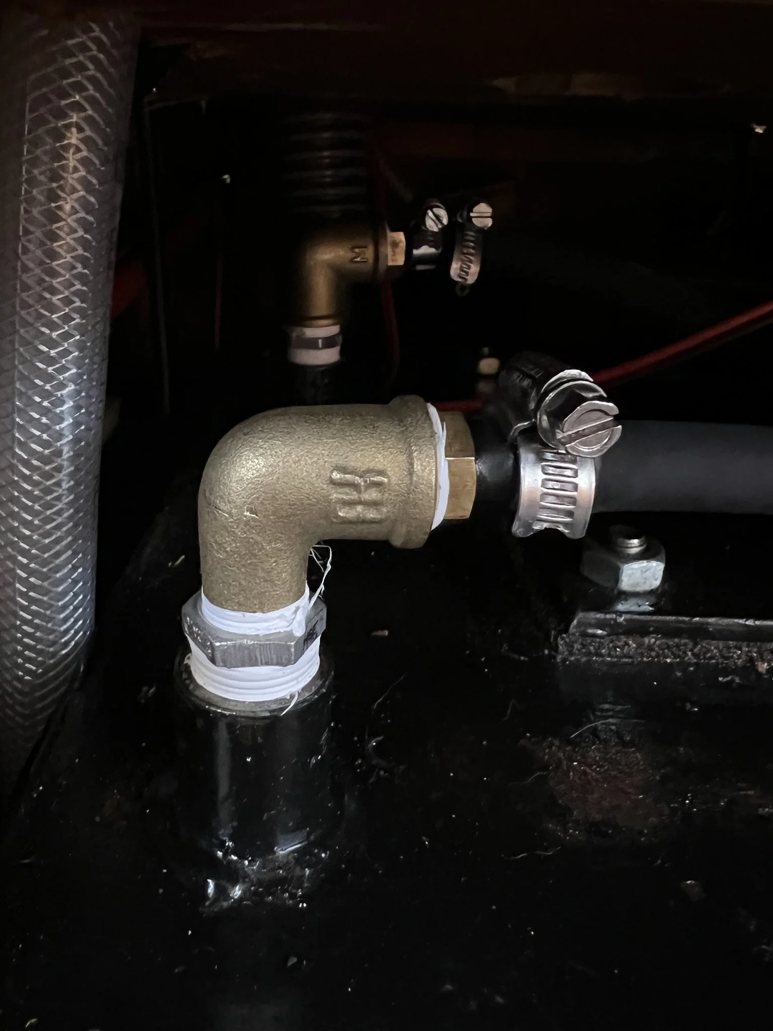
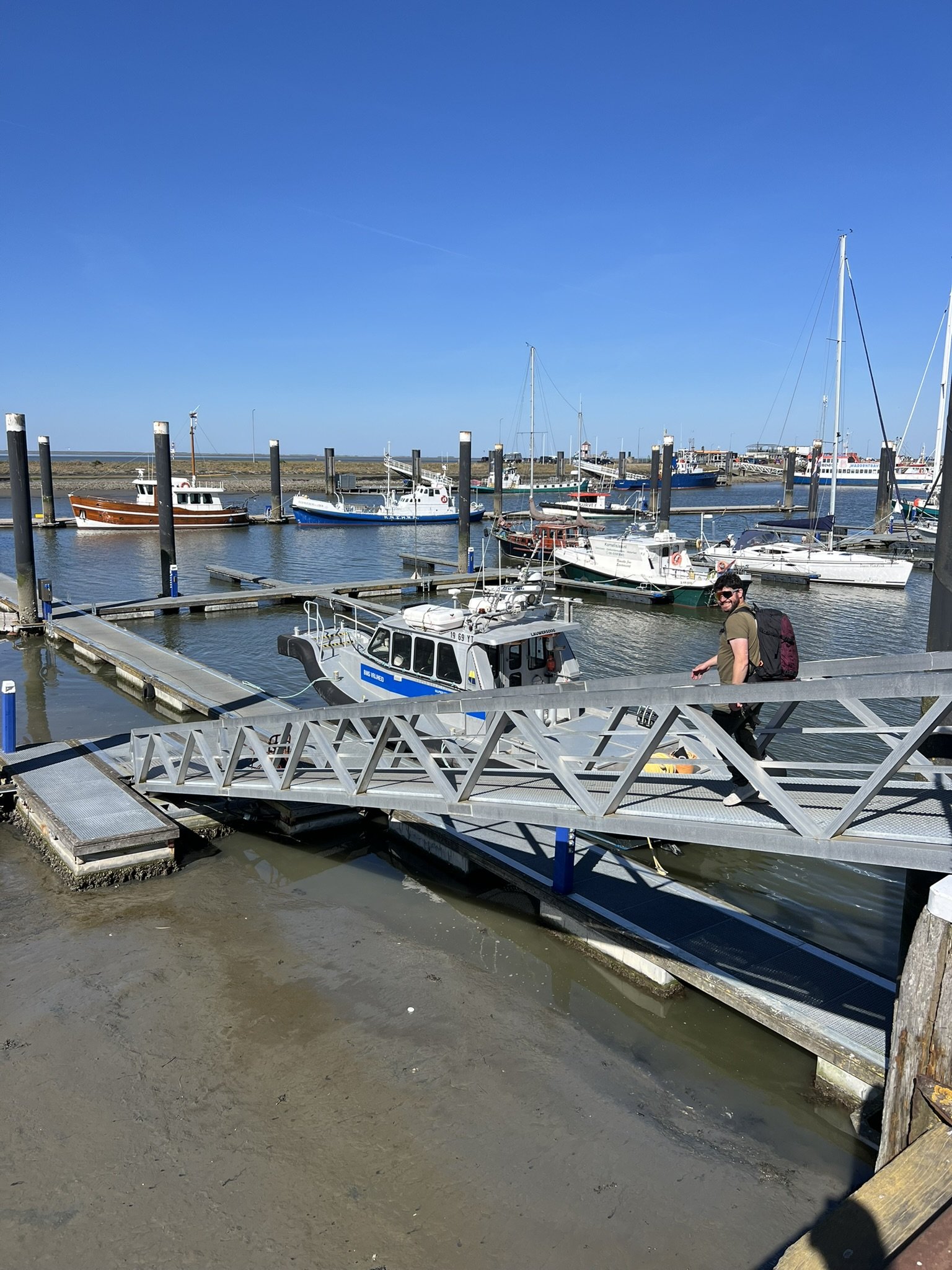
The next day, we checked the forecast and decided to stay in Lauwersoog until we had a better weather window. We ended up staying for three days, which gave us time for some bigger boat projects that we were happy to cross off our list.
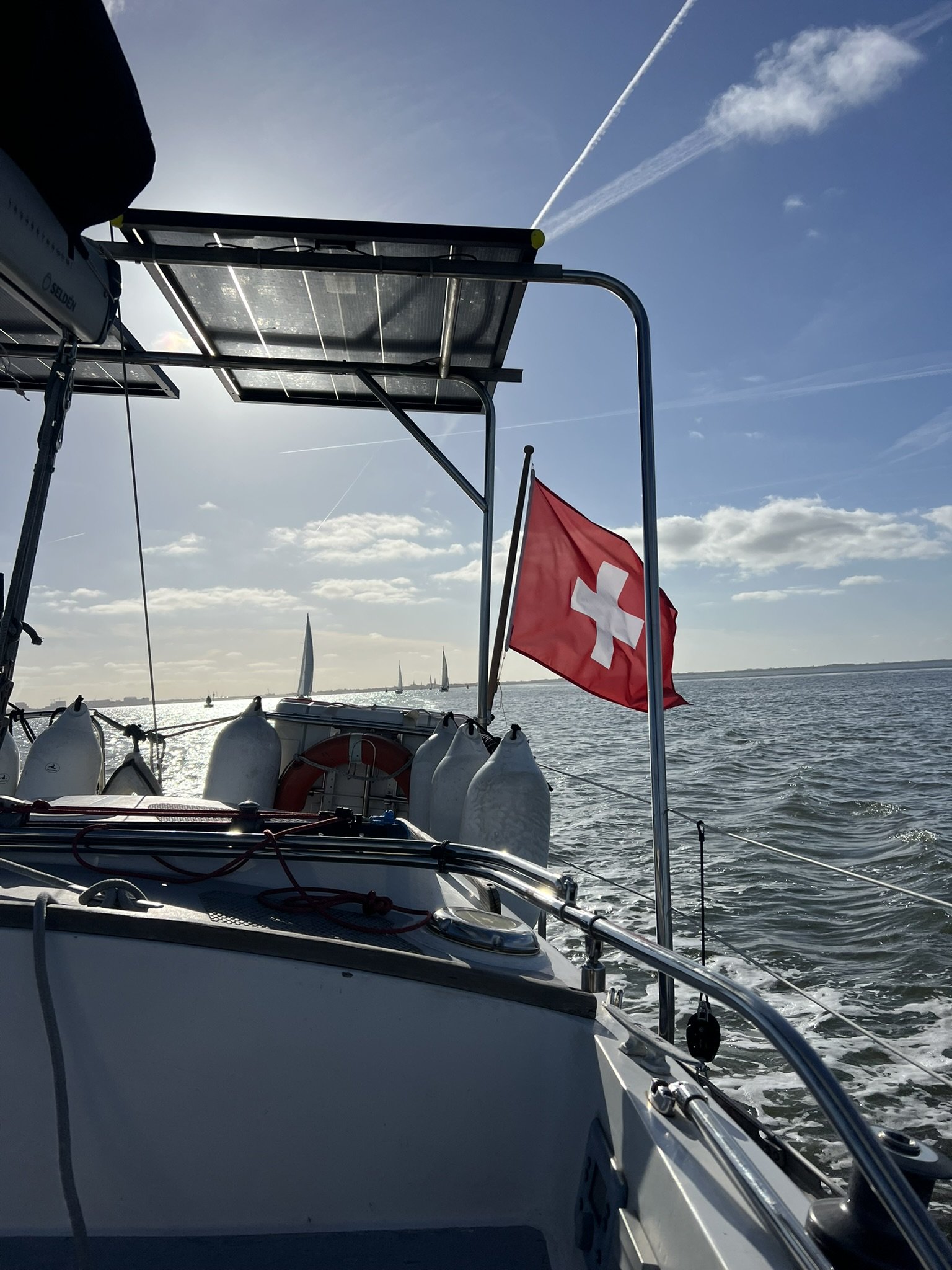
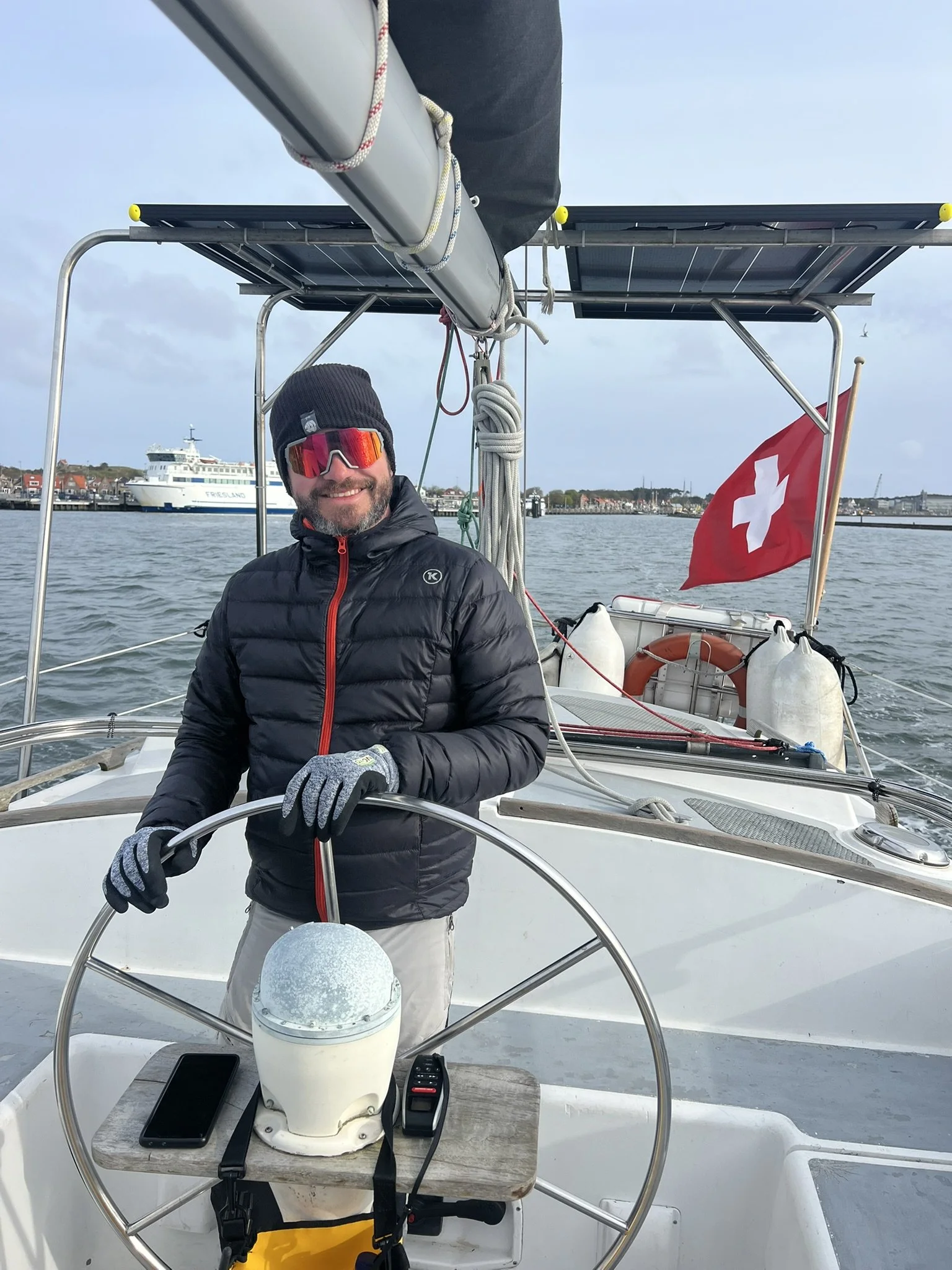
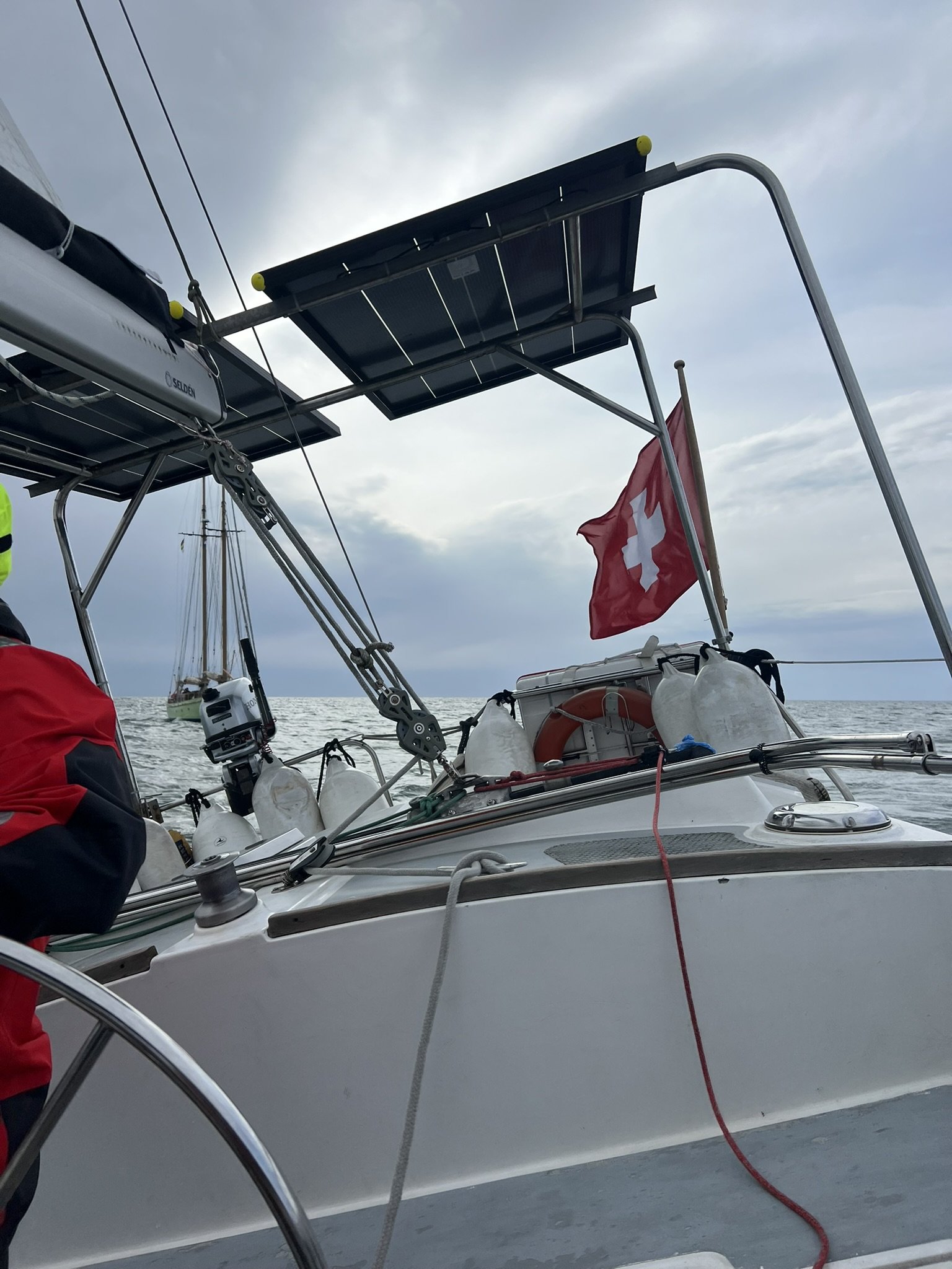
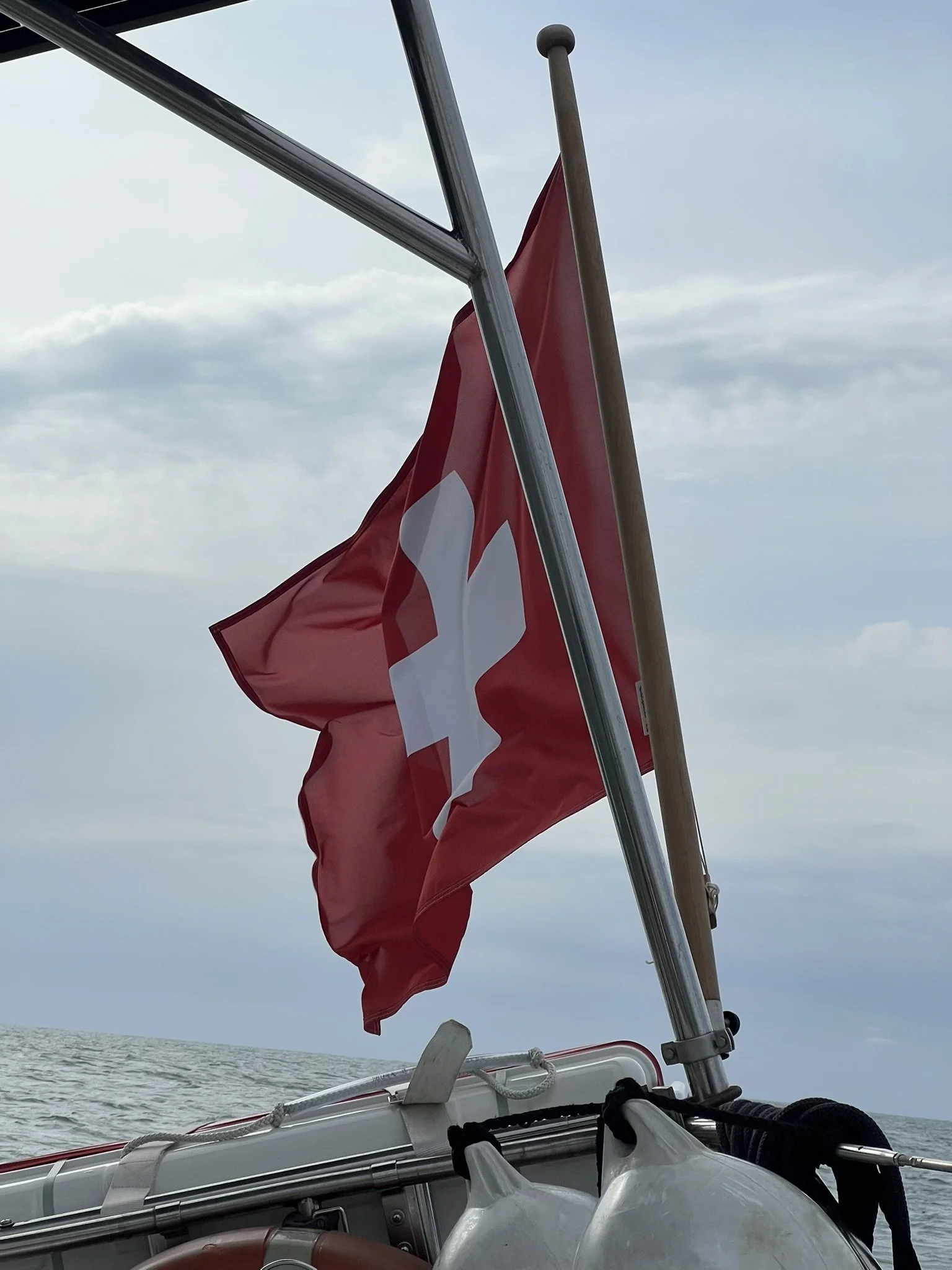
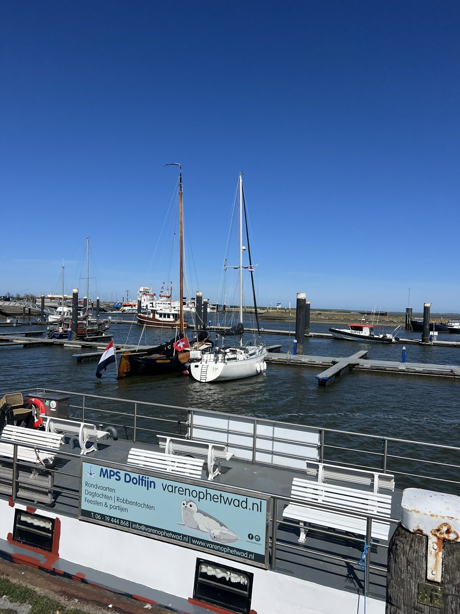
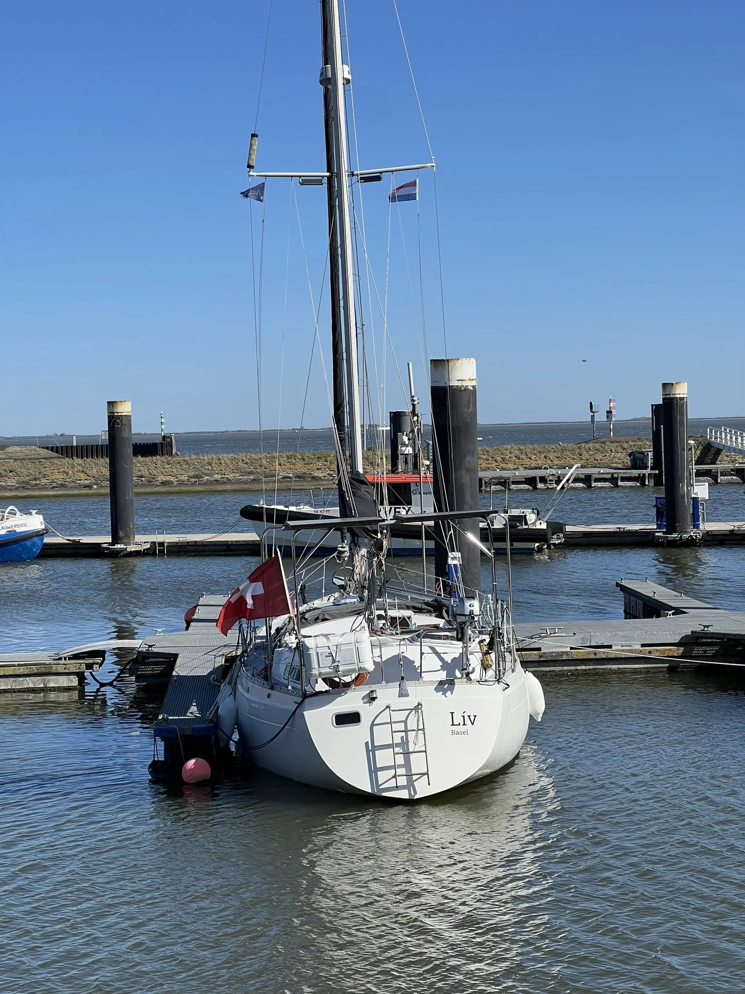
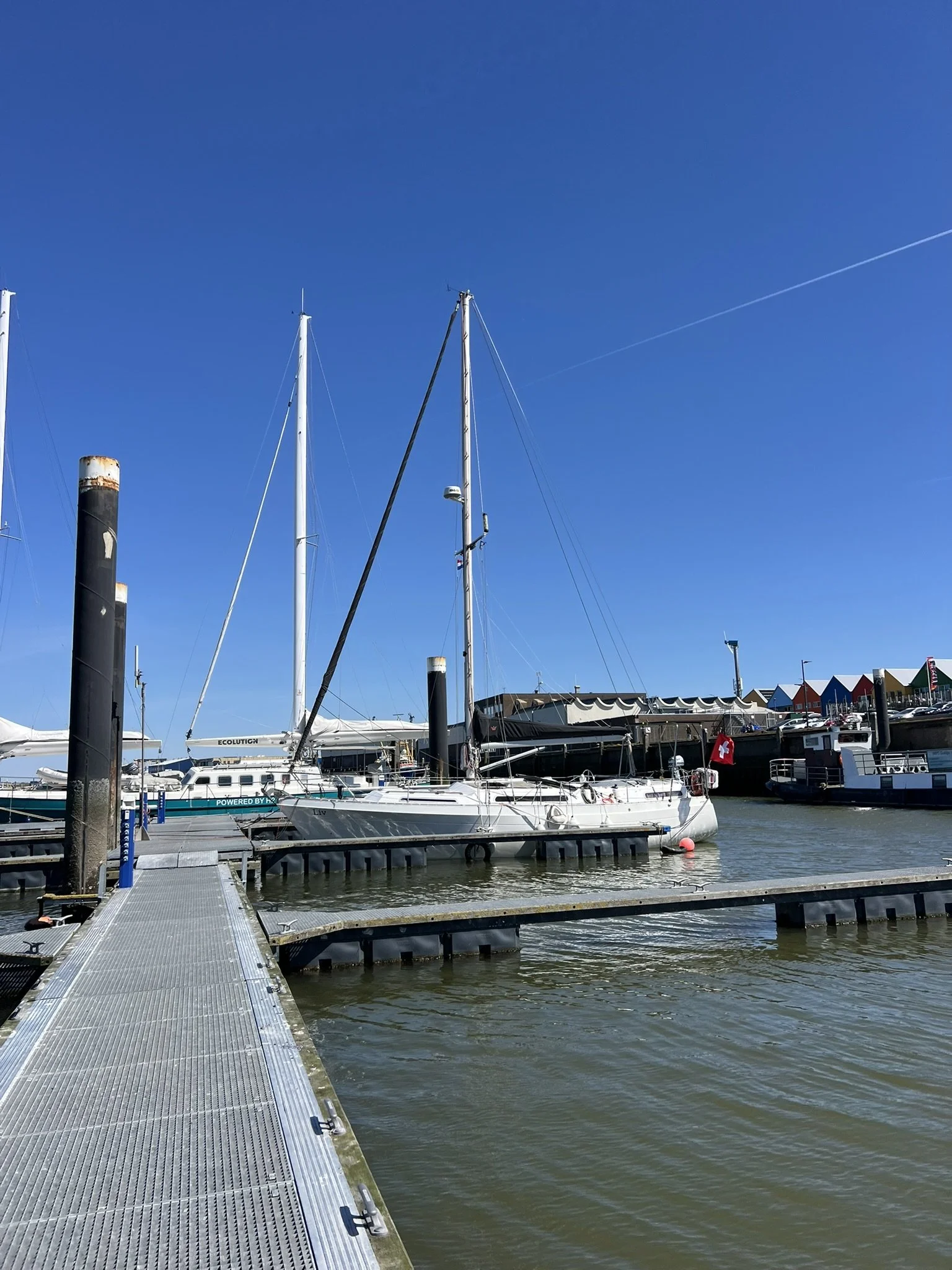
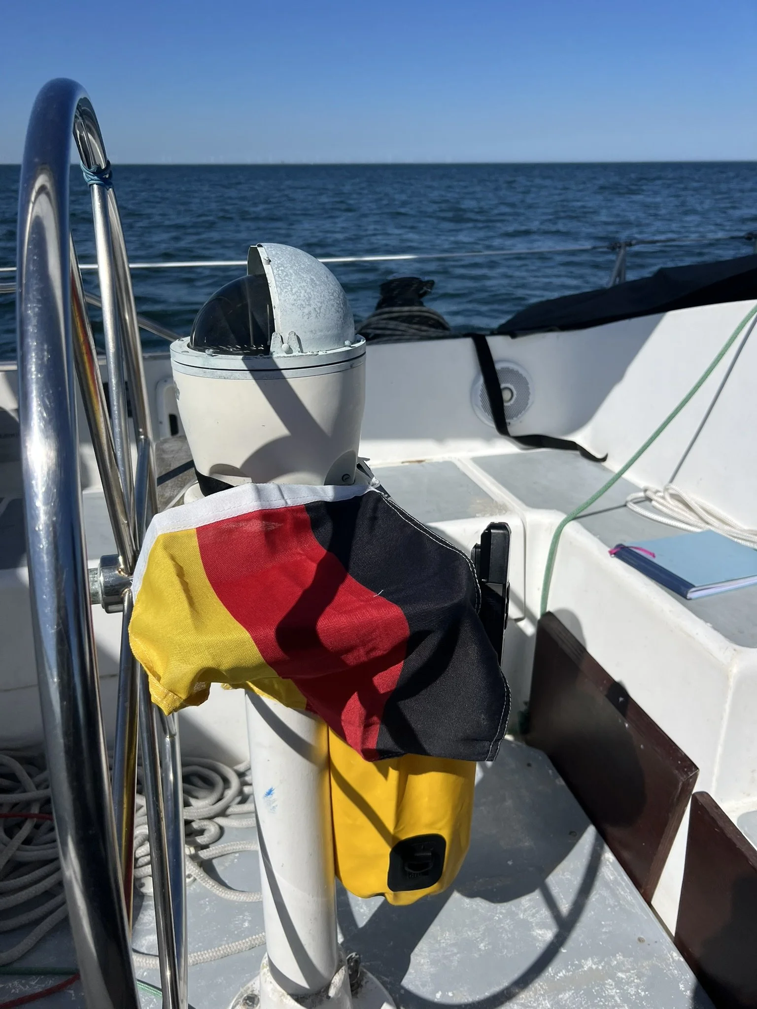
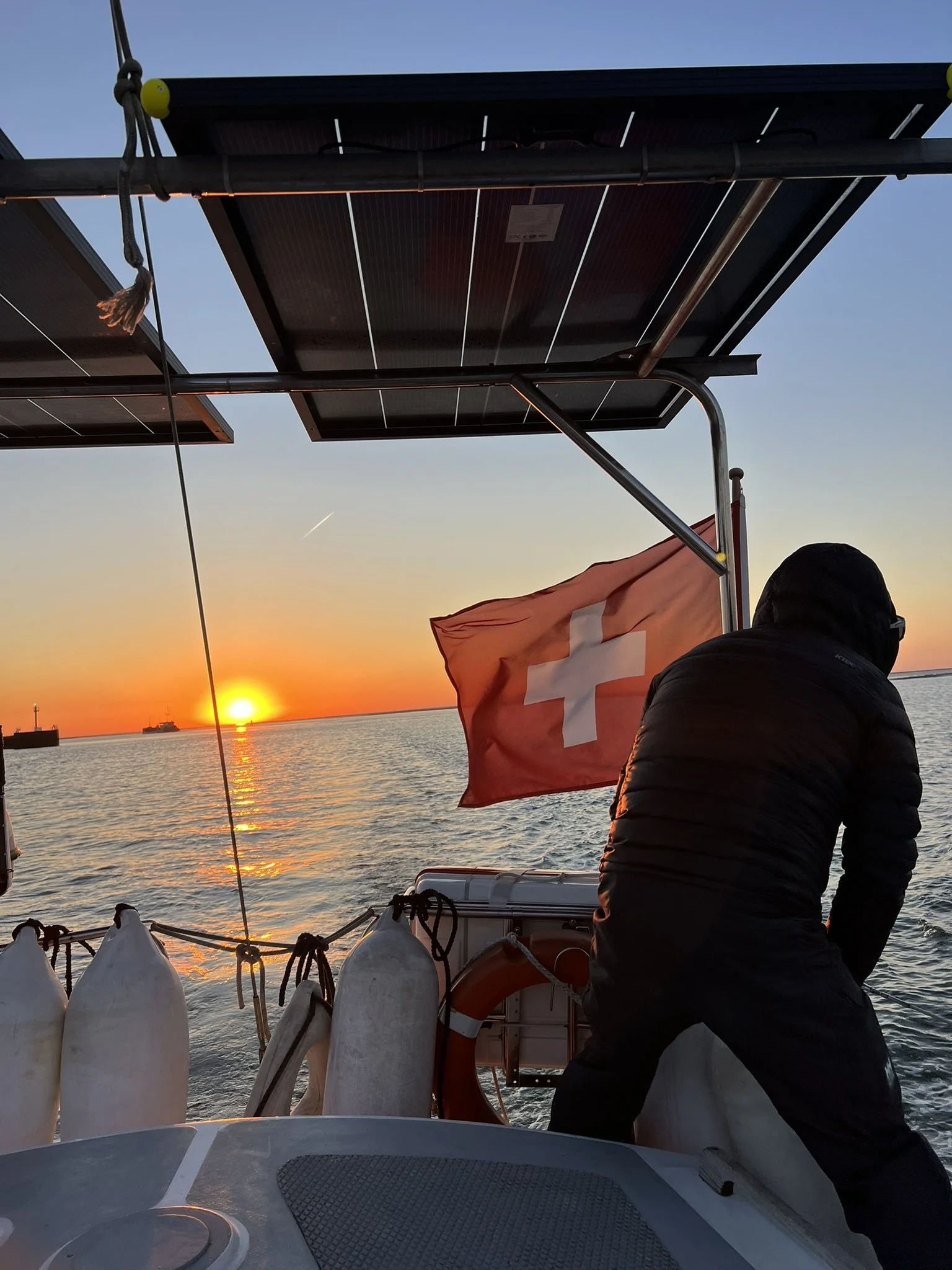
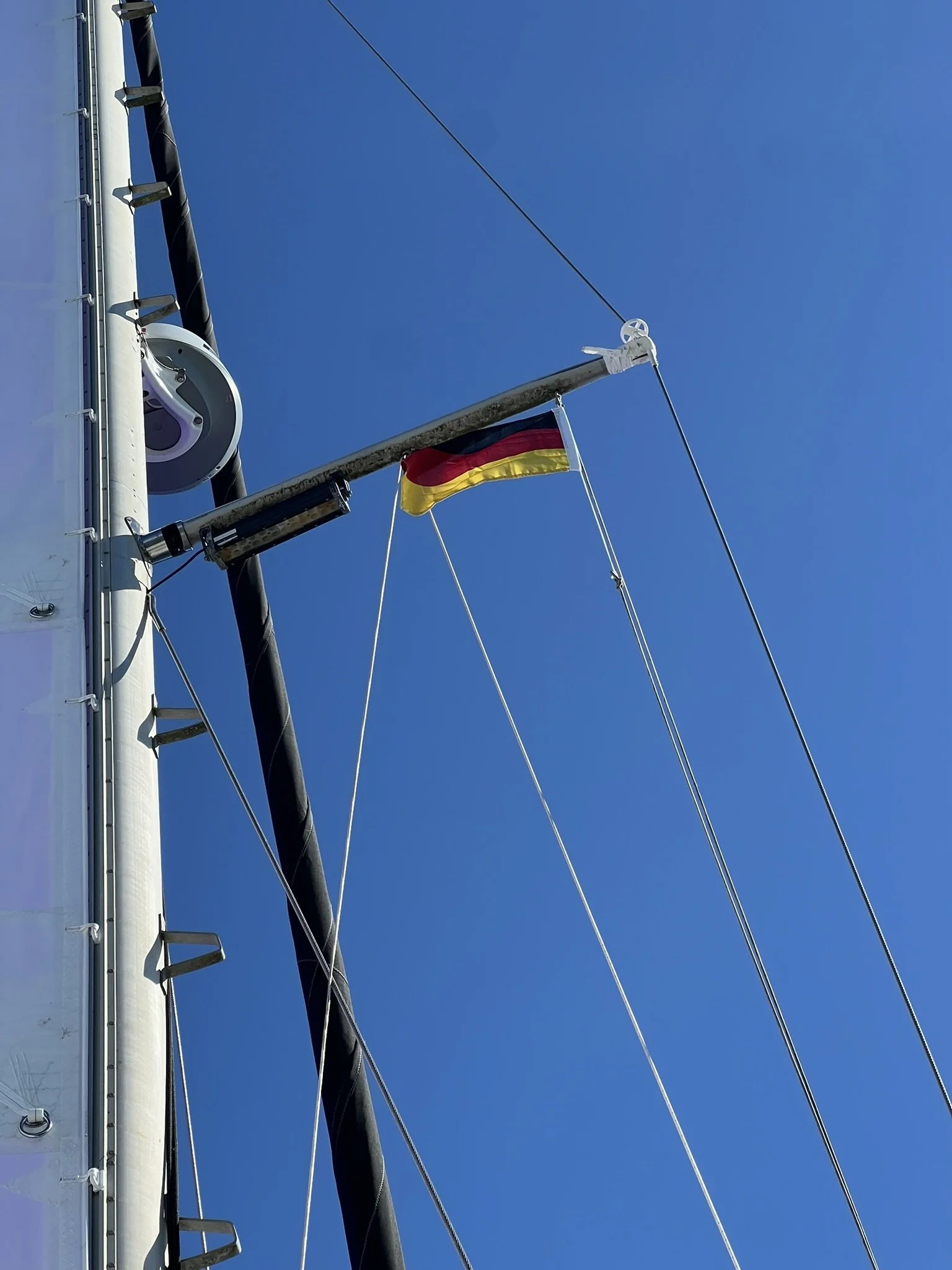
A little more prepared for a longer passage, we left with the tide and made it to Borkum, Germany, in the evening. Since we were already cleared into the EU, we did not have to deal with any formalities. The only thing we had to do was change the courtesy flag on our boat from the Dutch to the German flag.
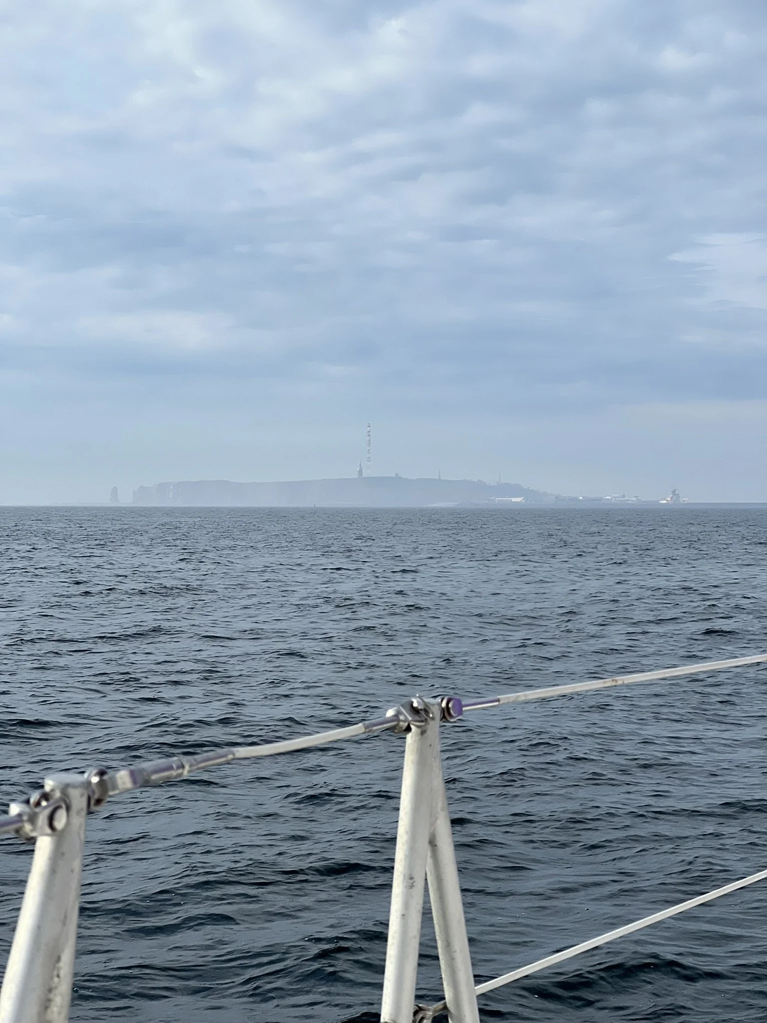
The weather gods gave us a perfect window the following day to make it all the way to Helgoland in one go, and that is exactly what we did.
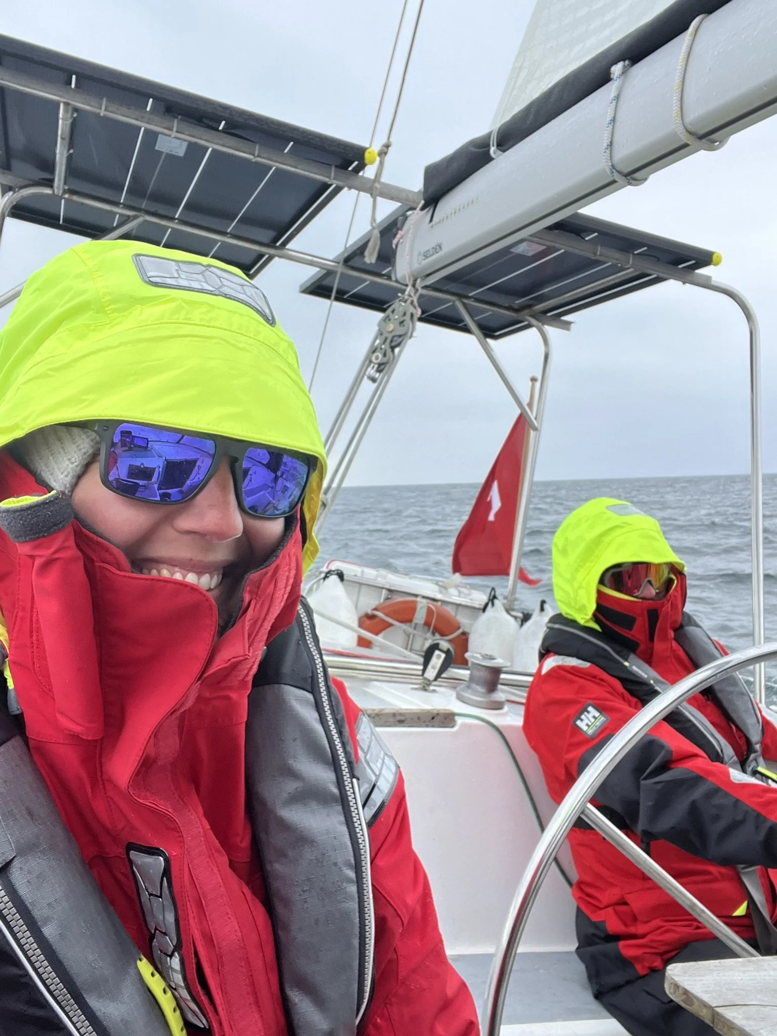
The journey to Helgoland is famous for rough North Sea conditions, strong winds, and heavy waves, with a high risk of seasickness. So we considered ourselves extremely lucky with the conditions we had.
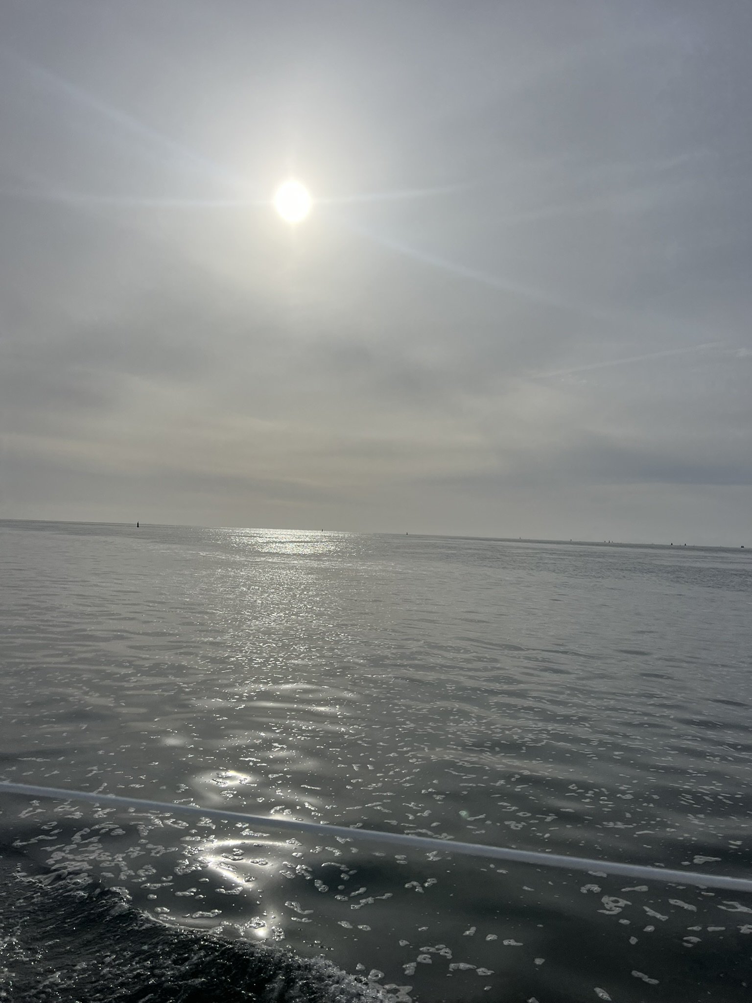
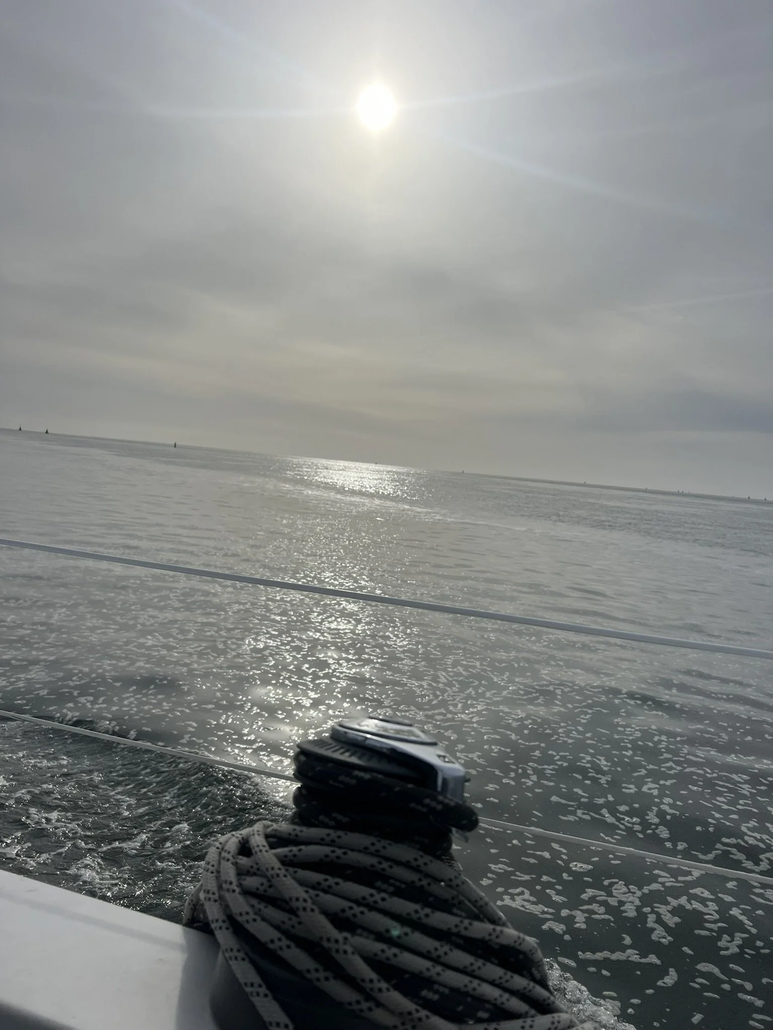
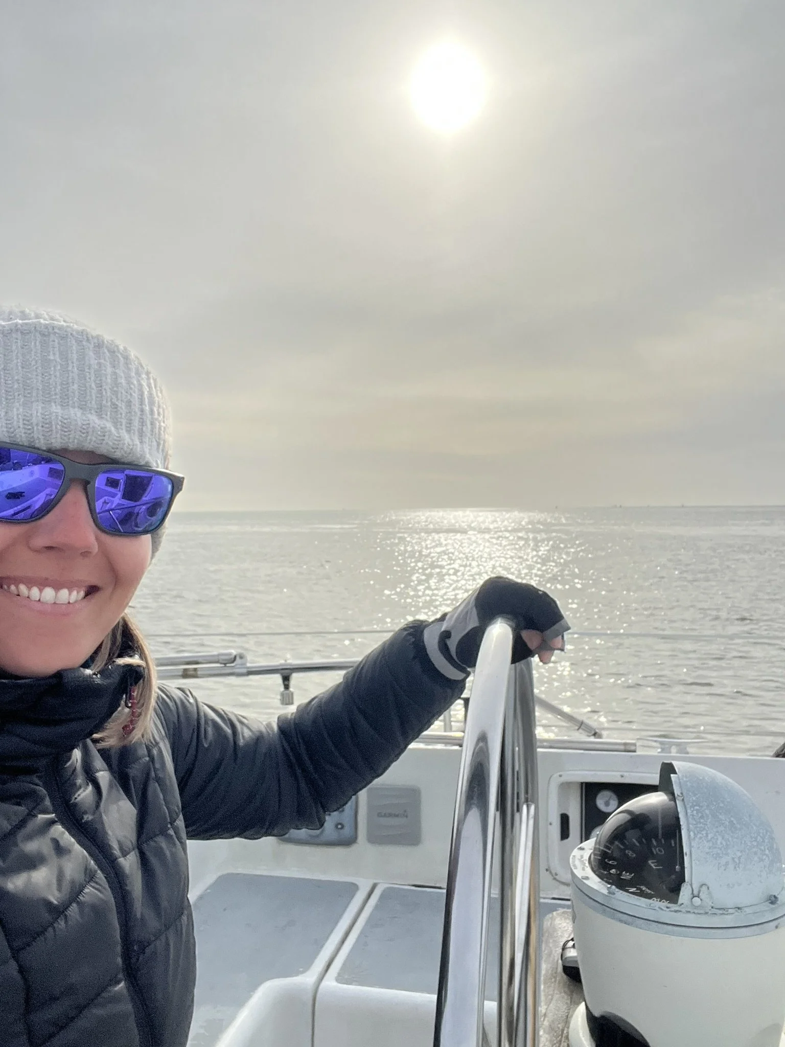
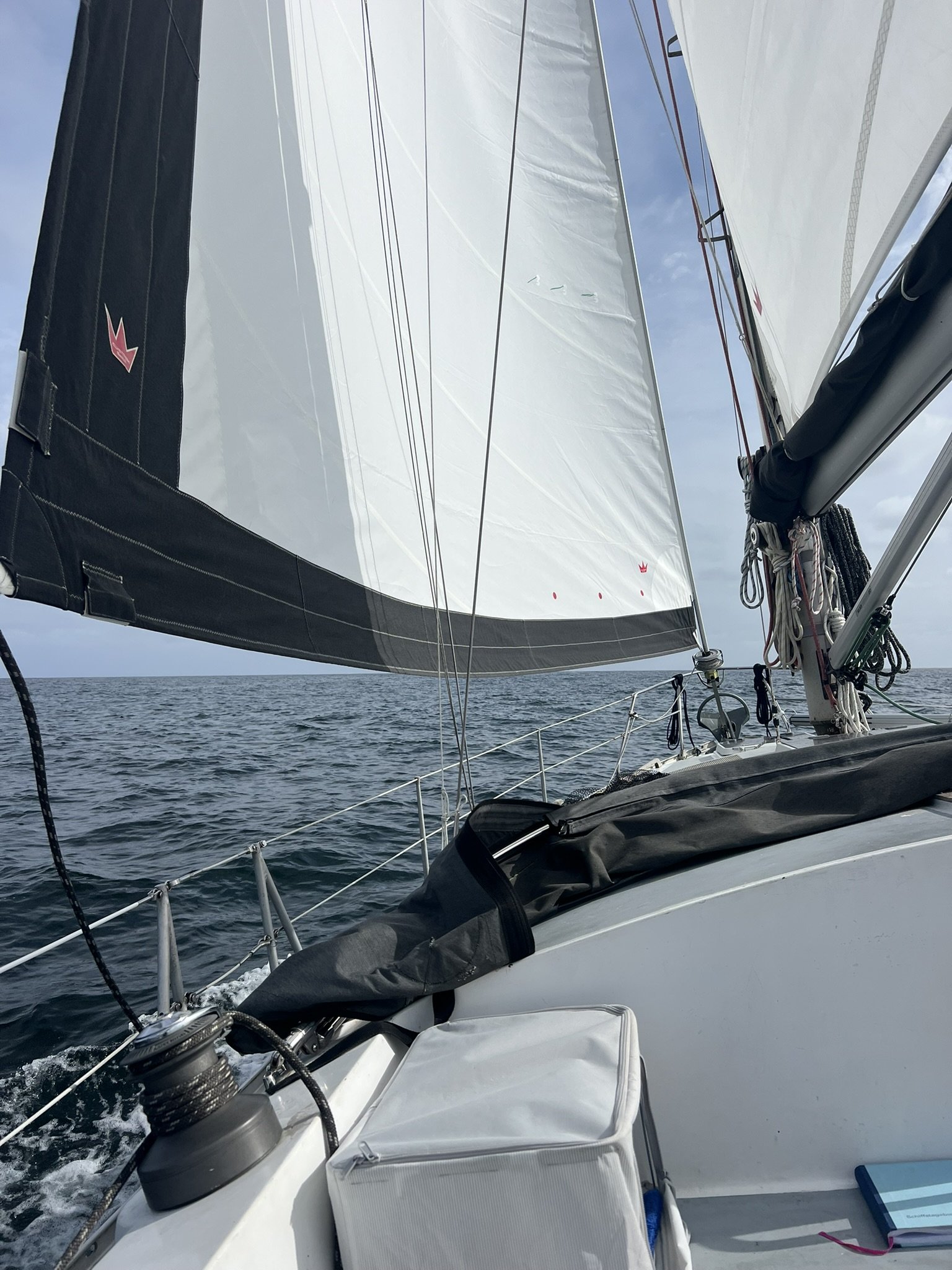
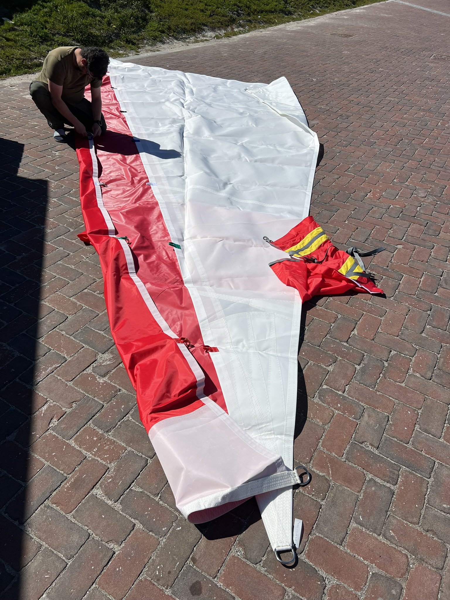
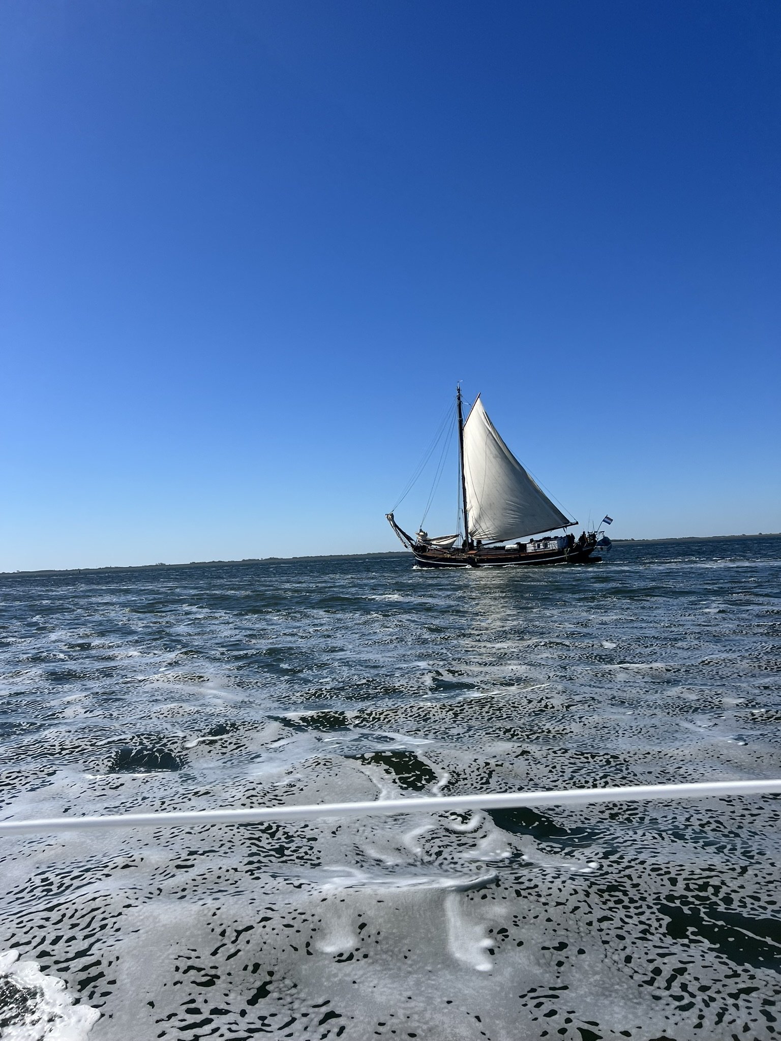
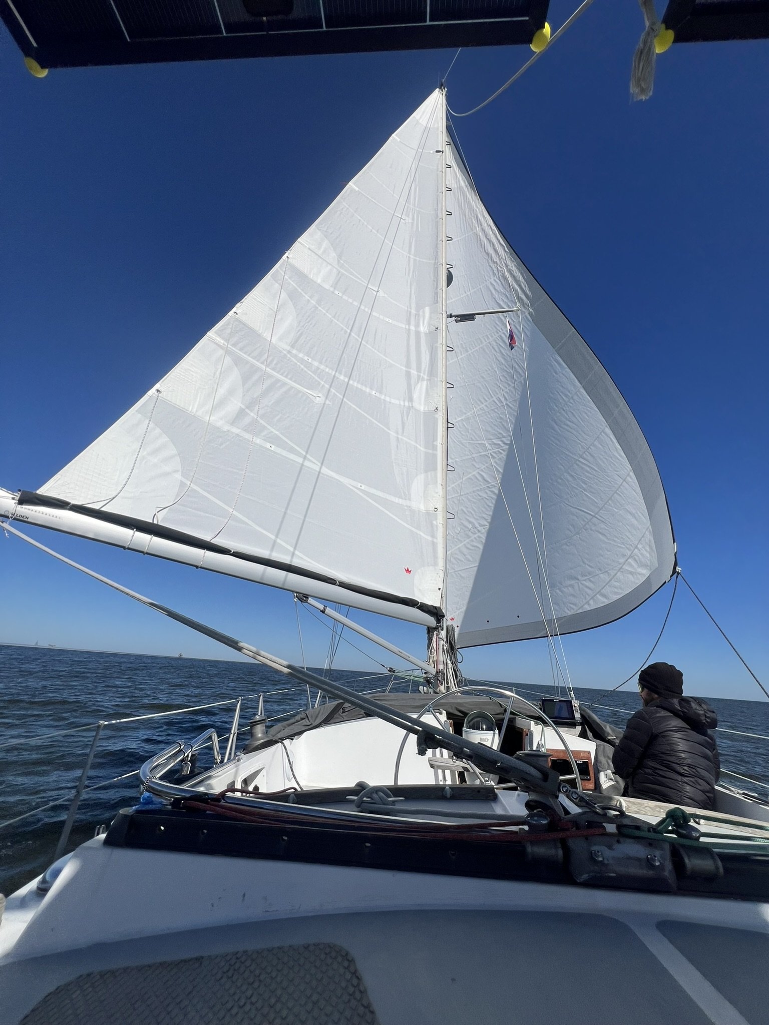
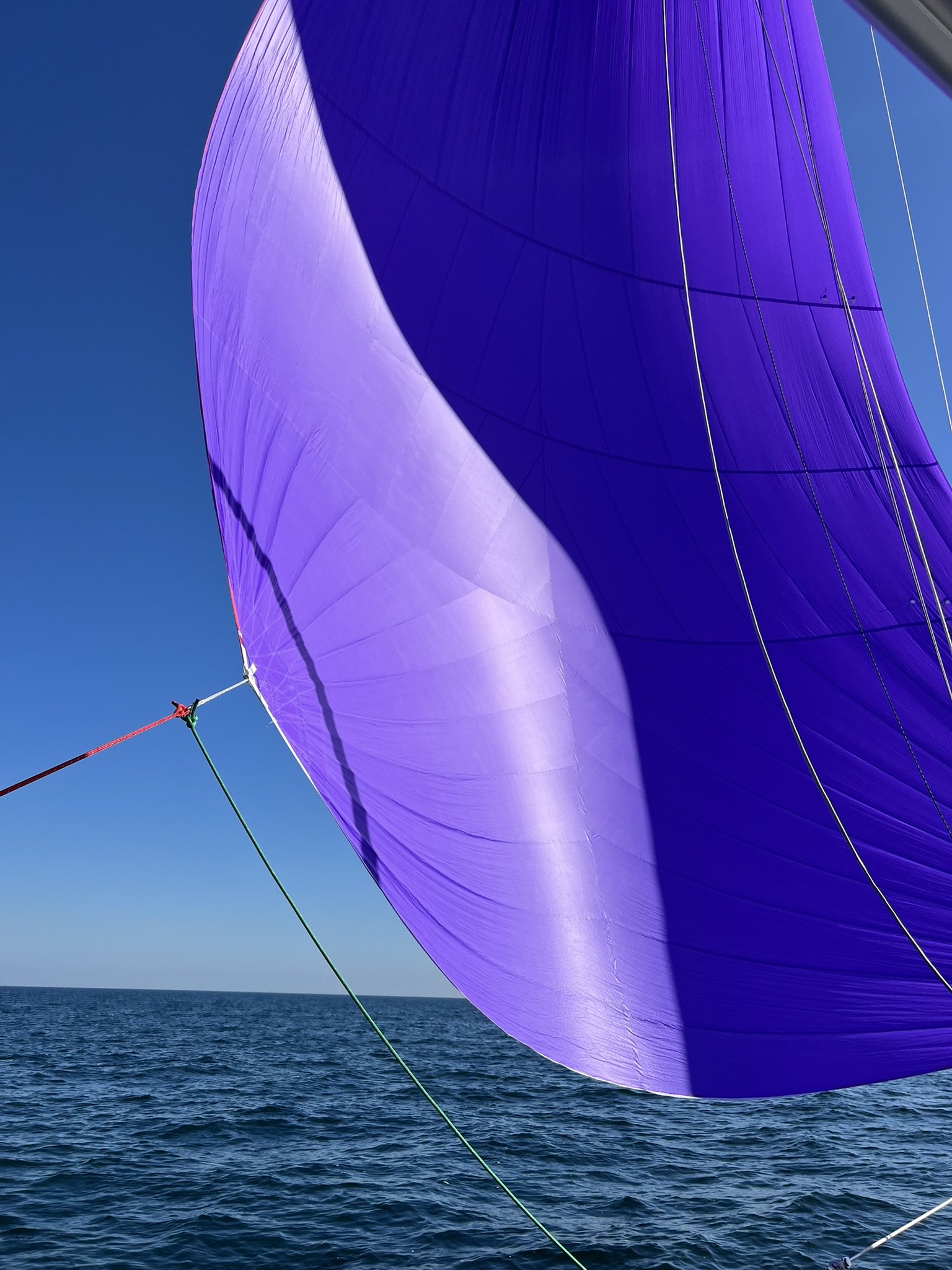
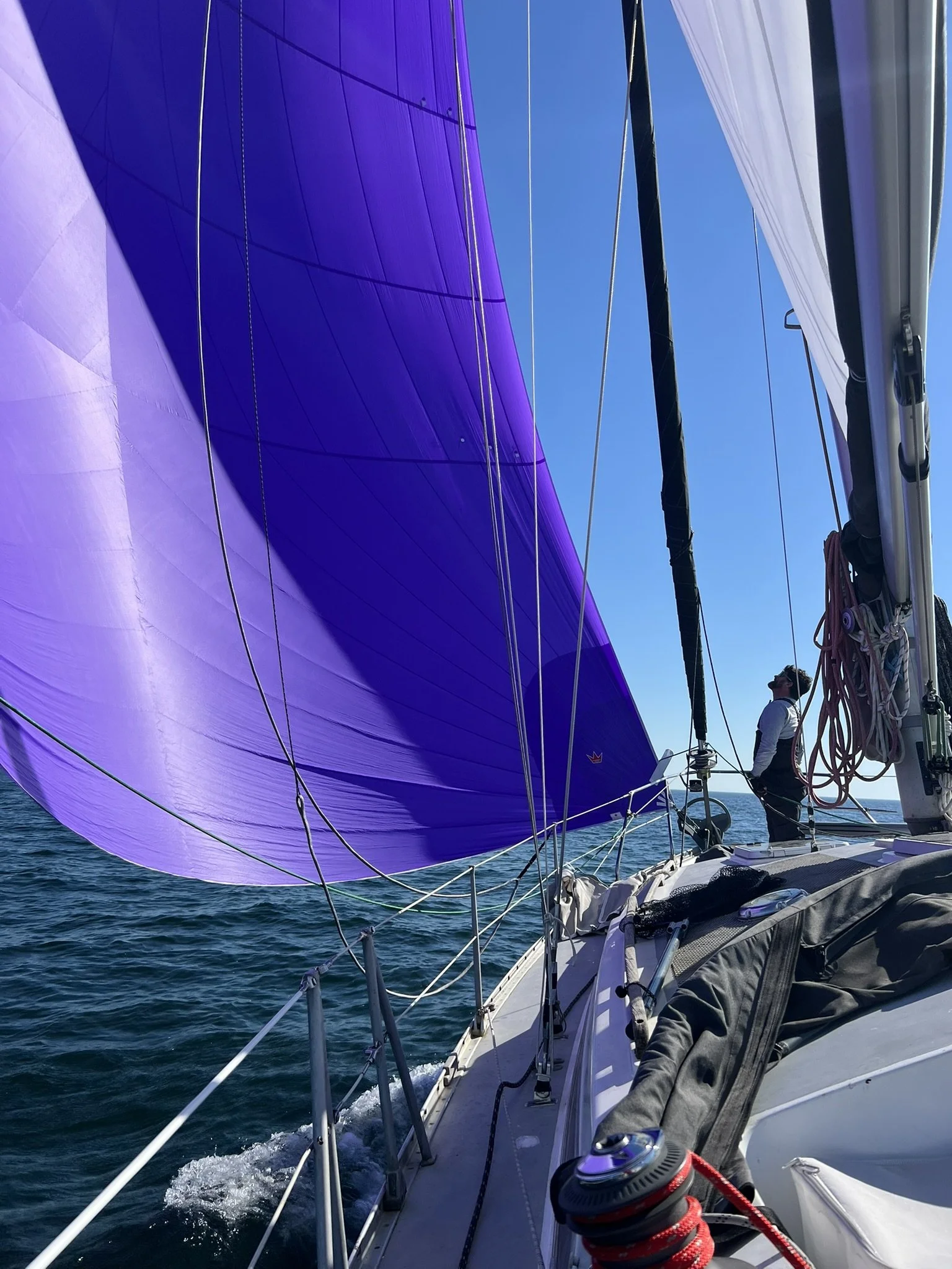
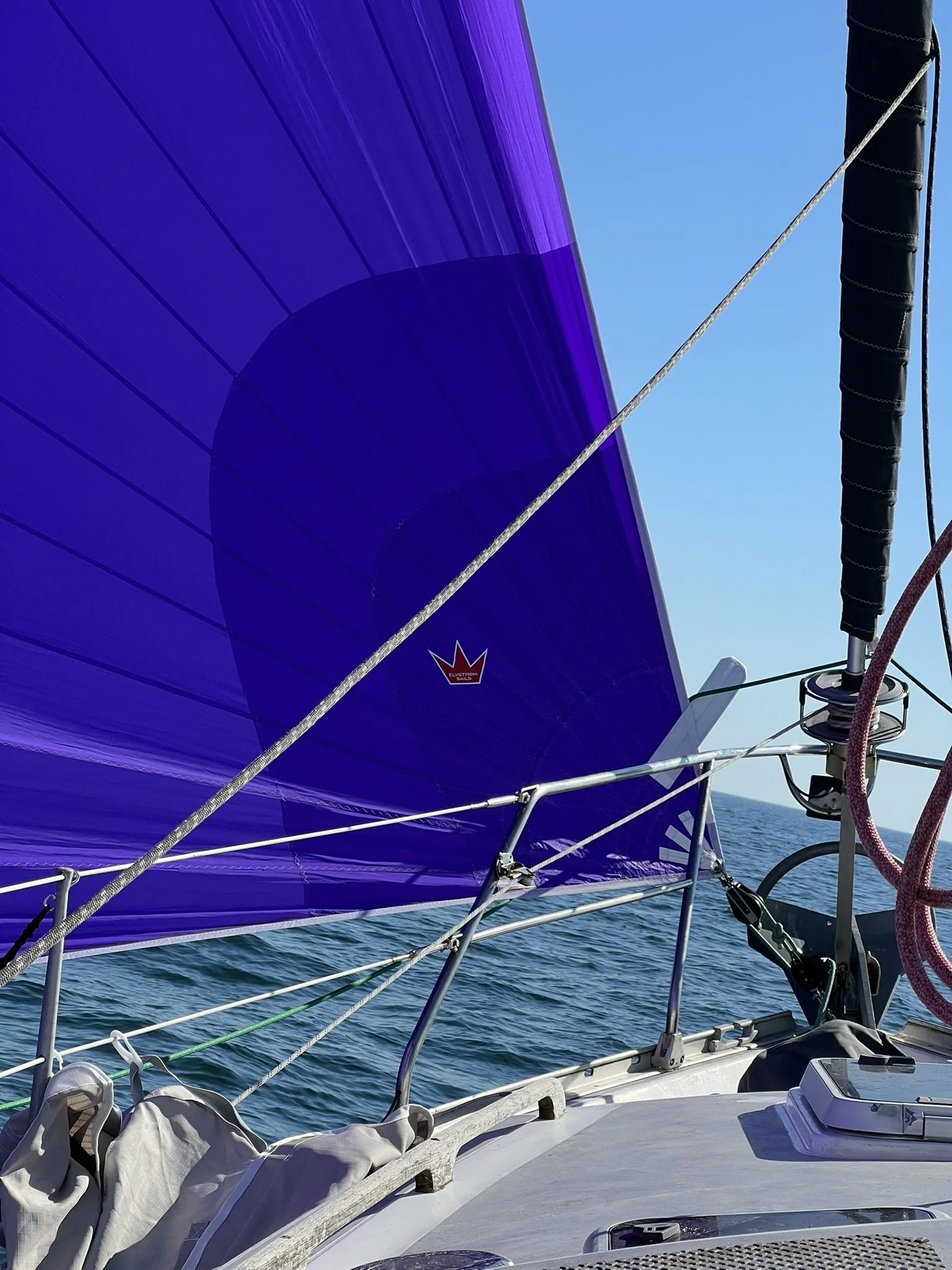
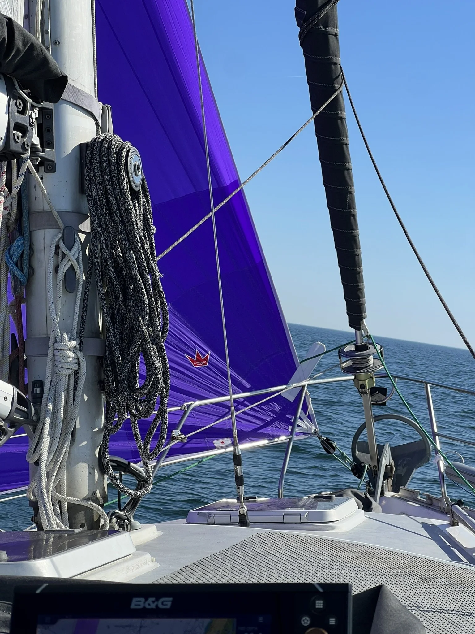
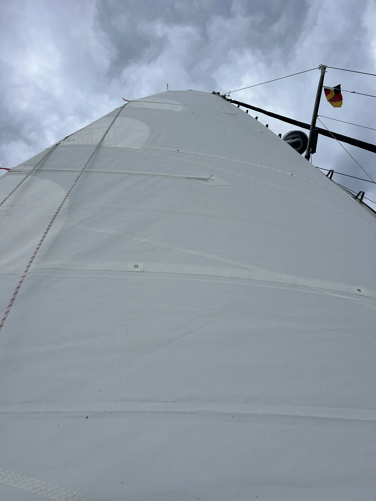
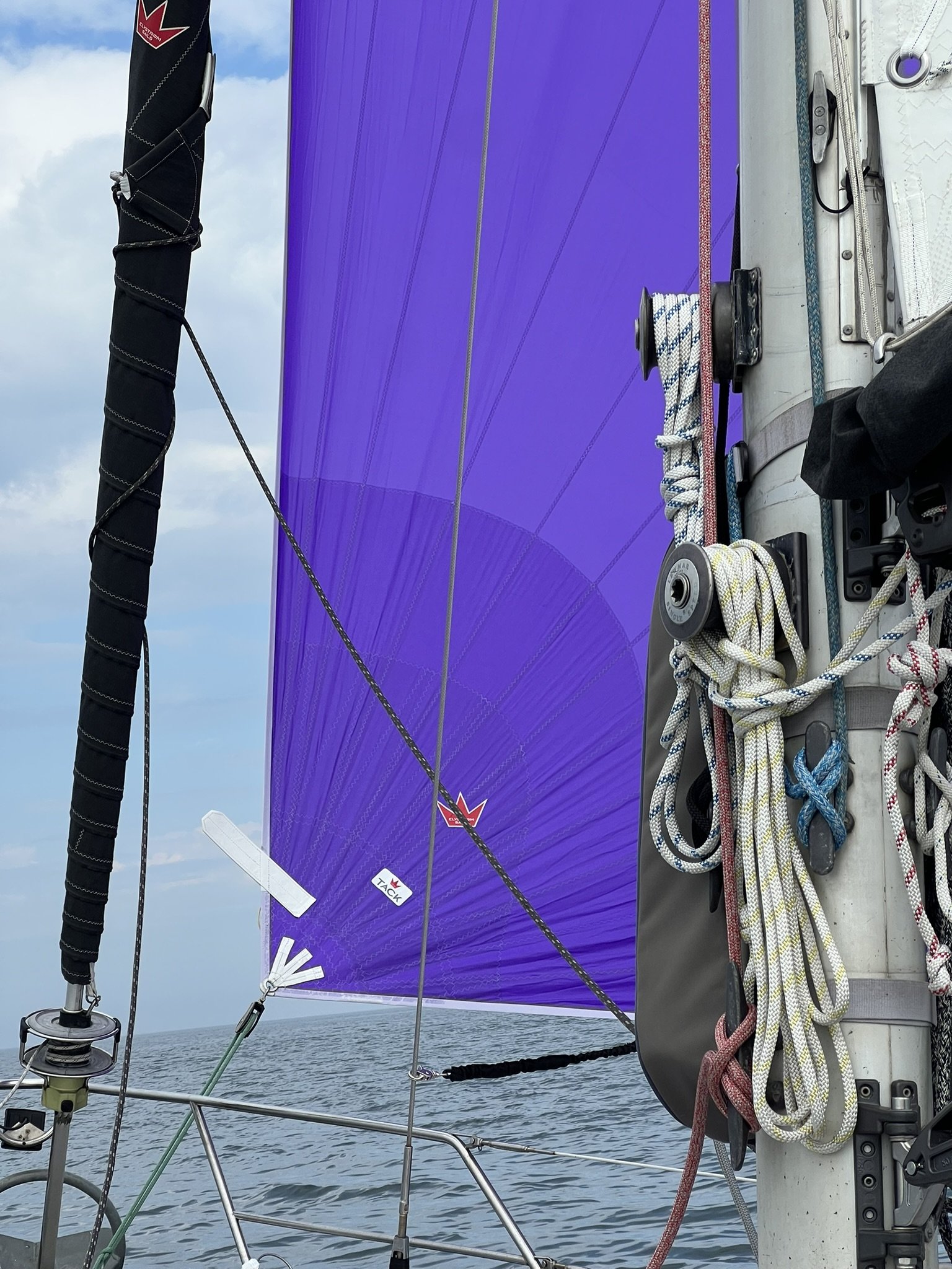
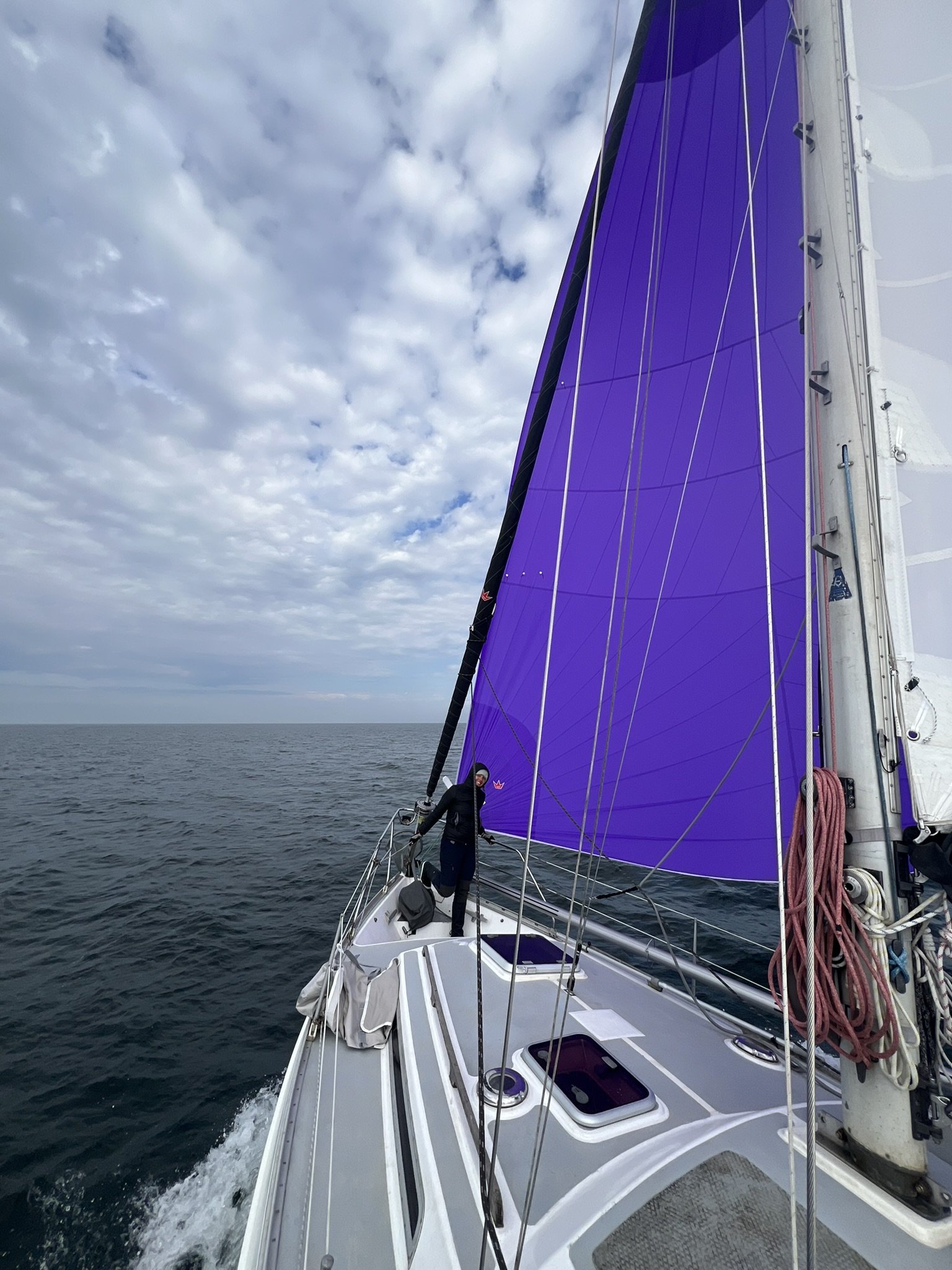
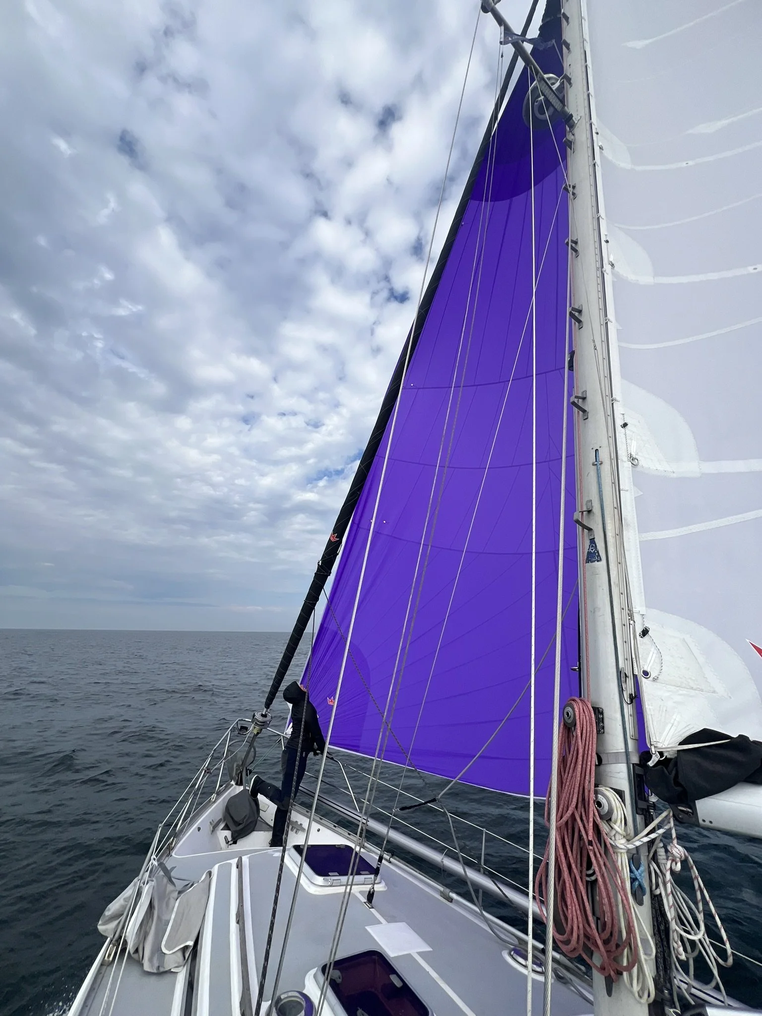
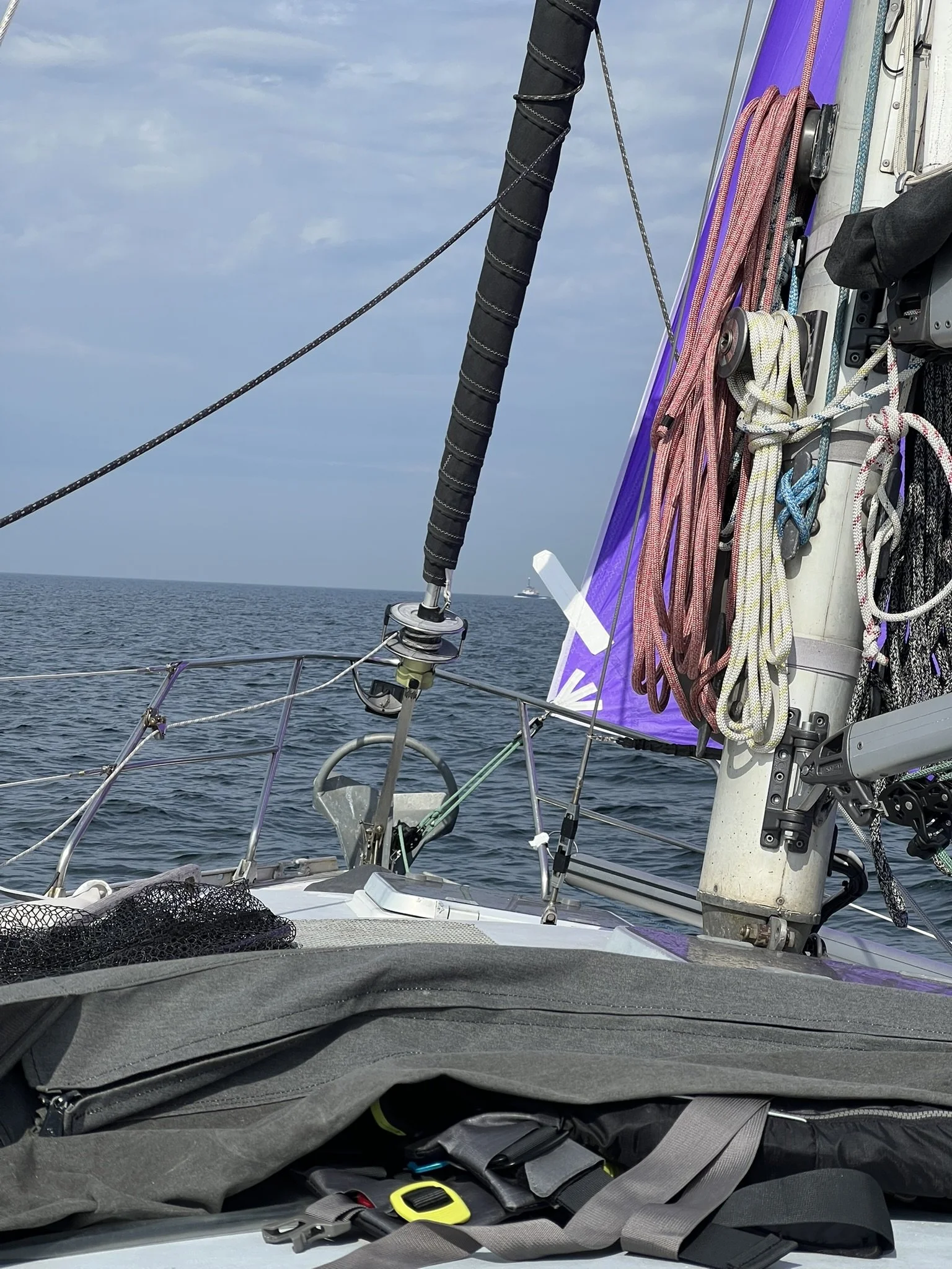
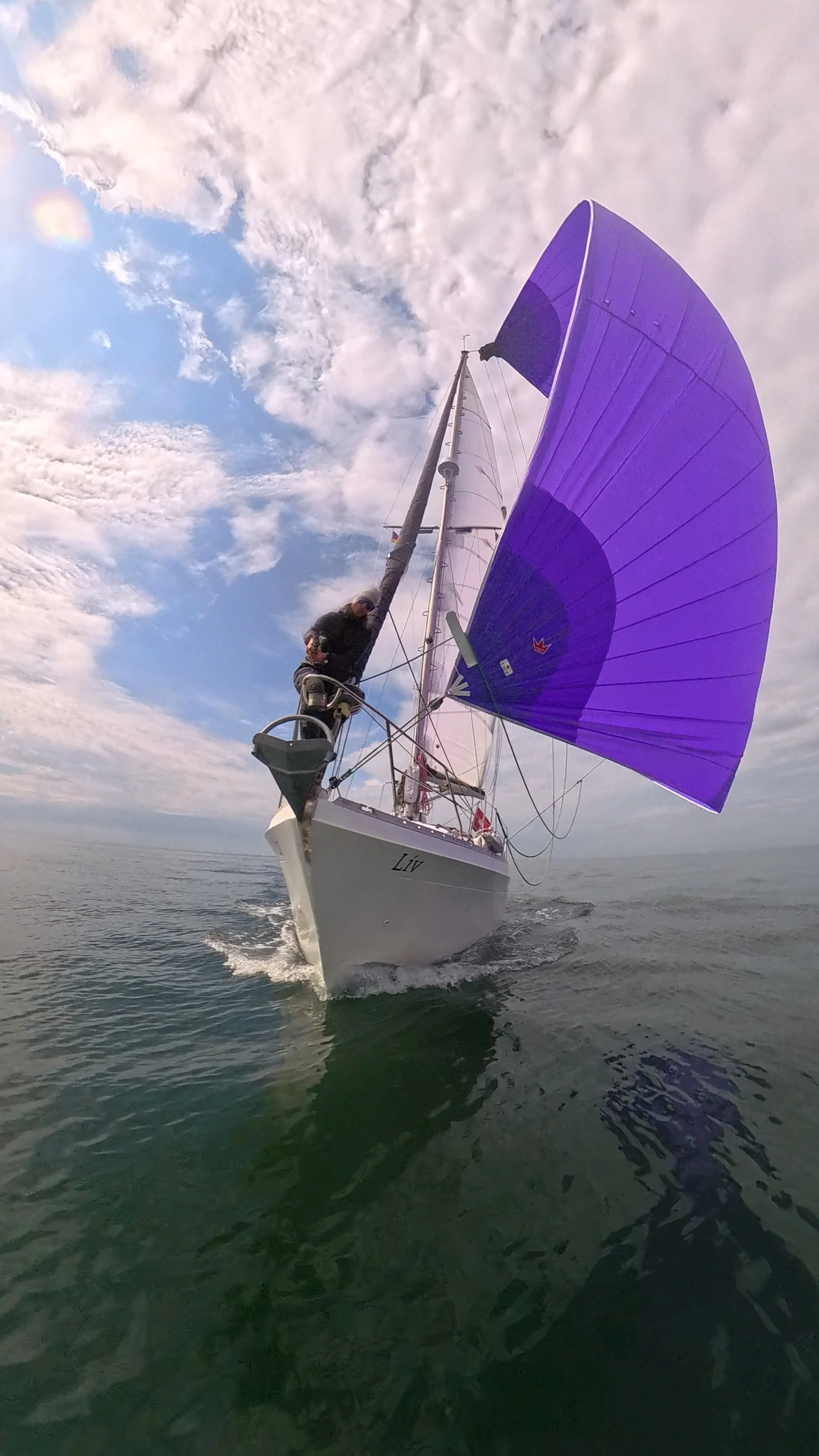
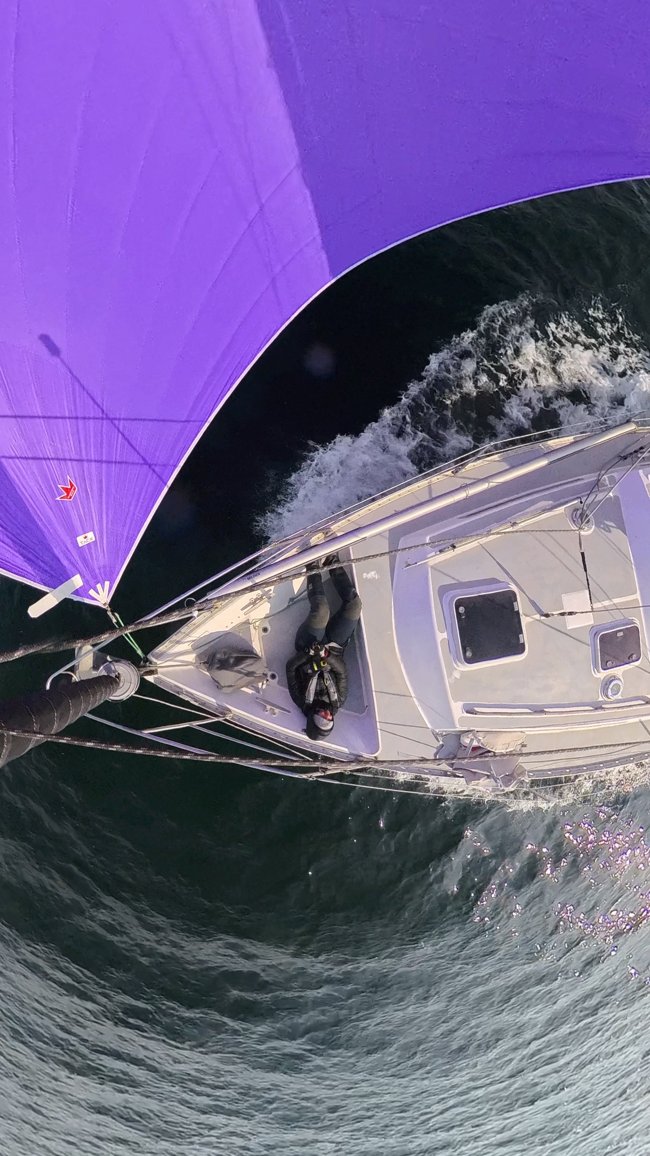
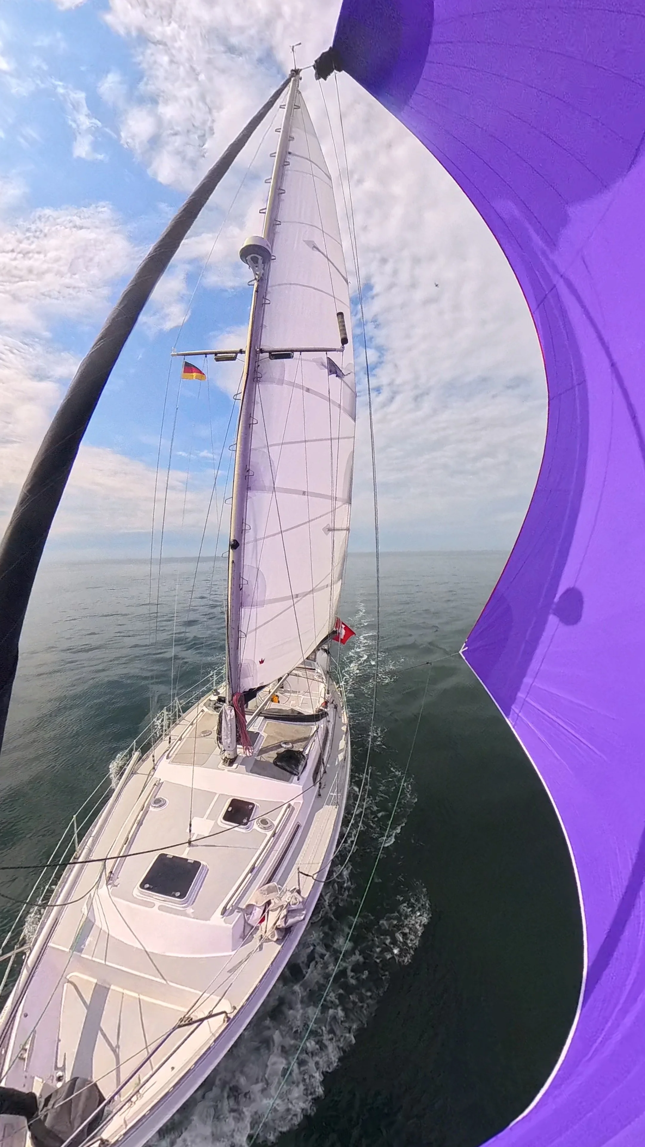
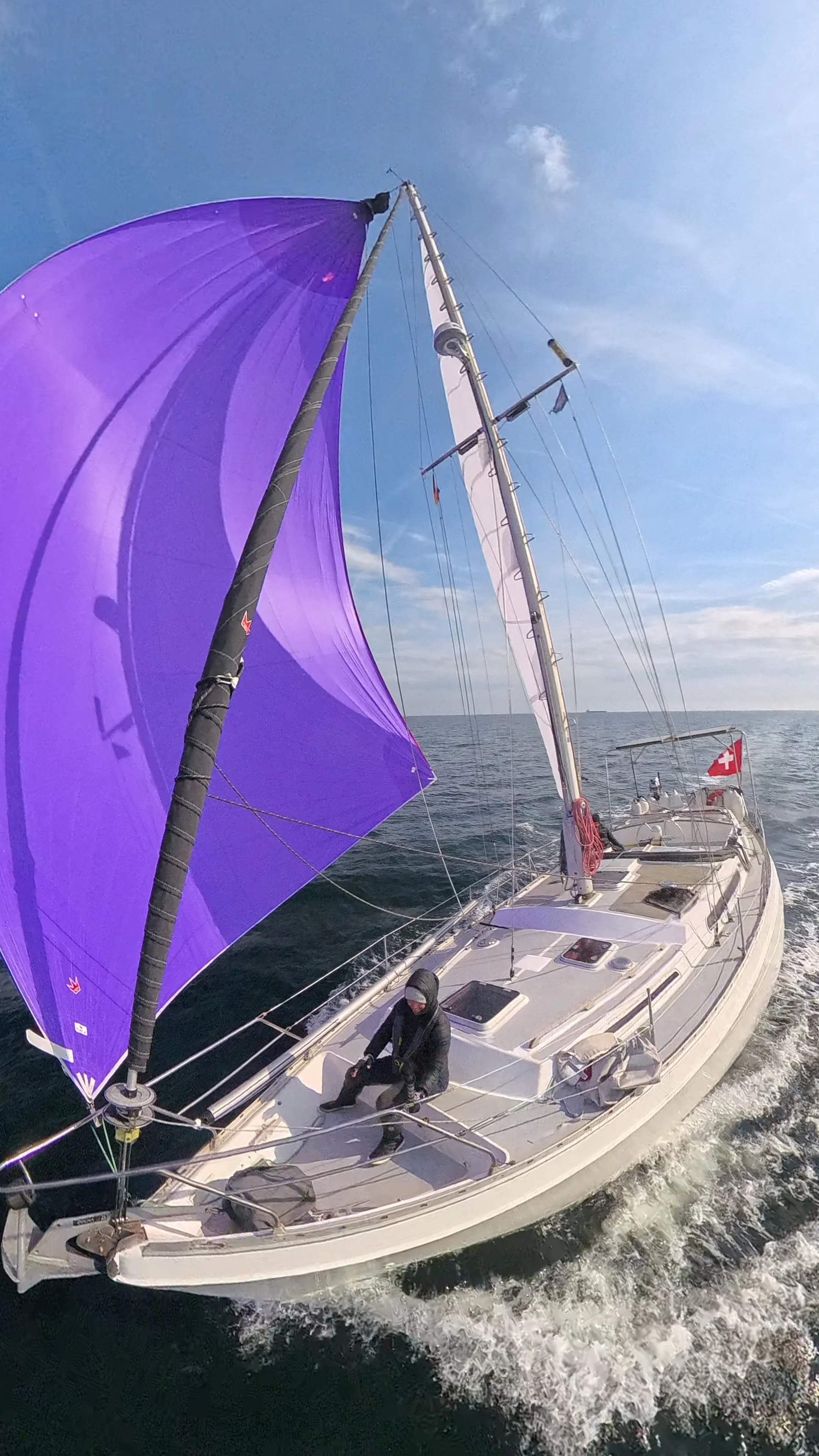
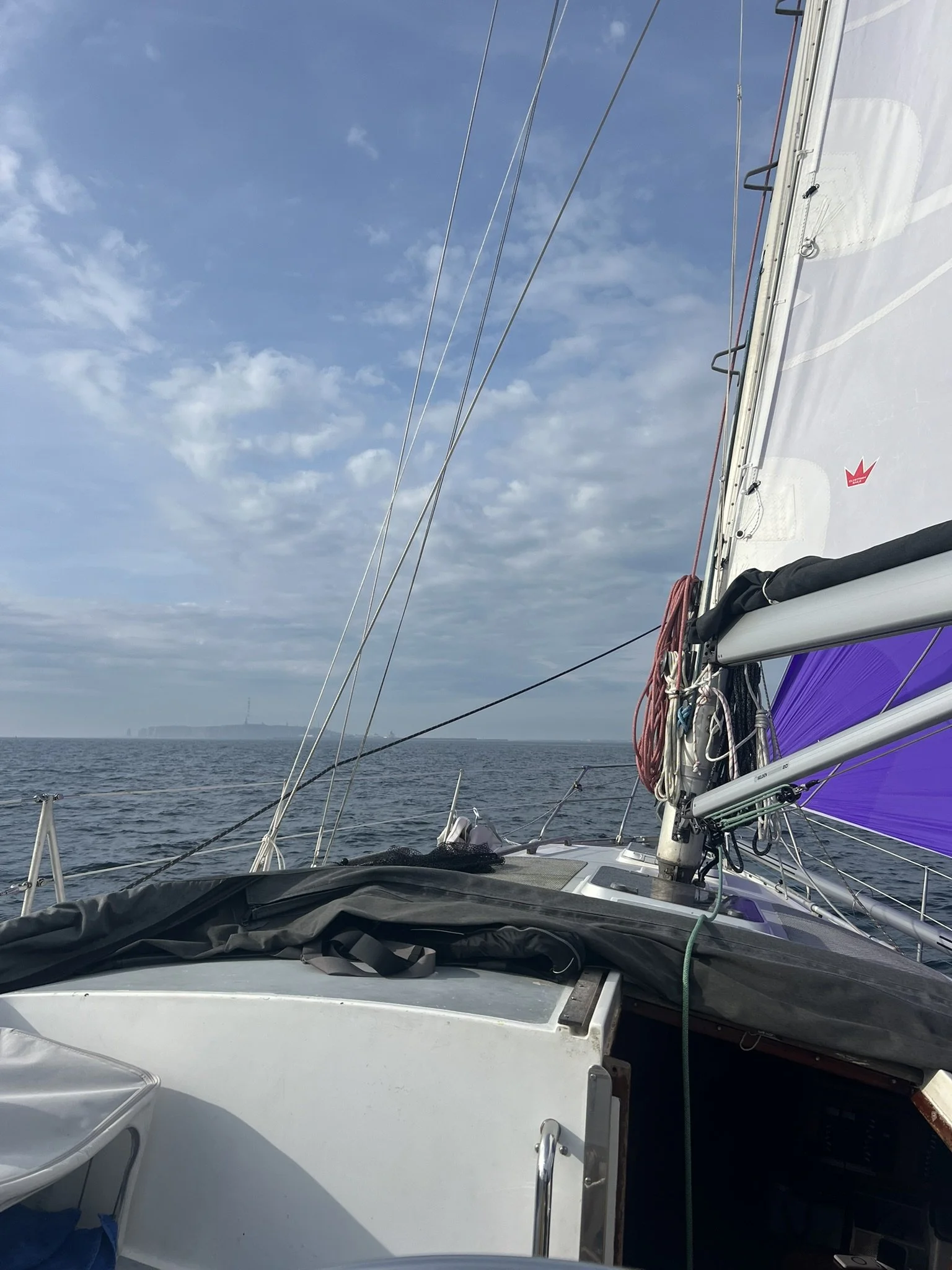
We were able to sail for around five hours with our gennaker, our biggest sail, which is designed for light winds only. That alone tells you how calm the conditions were. We enjoyed every single moment of it.
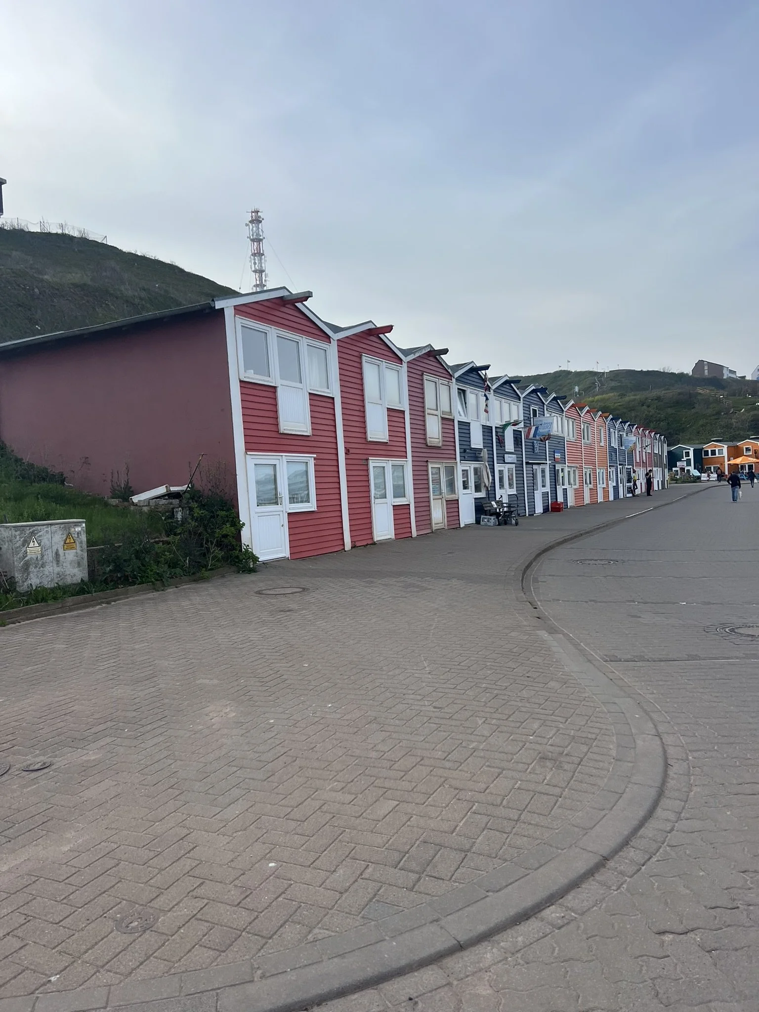
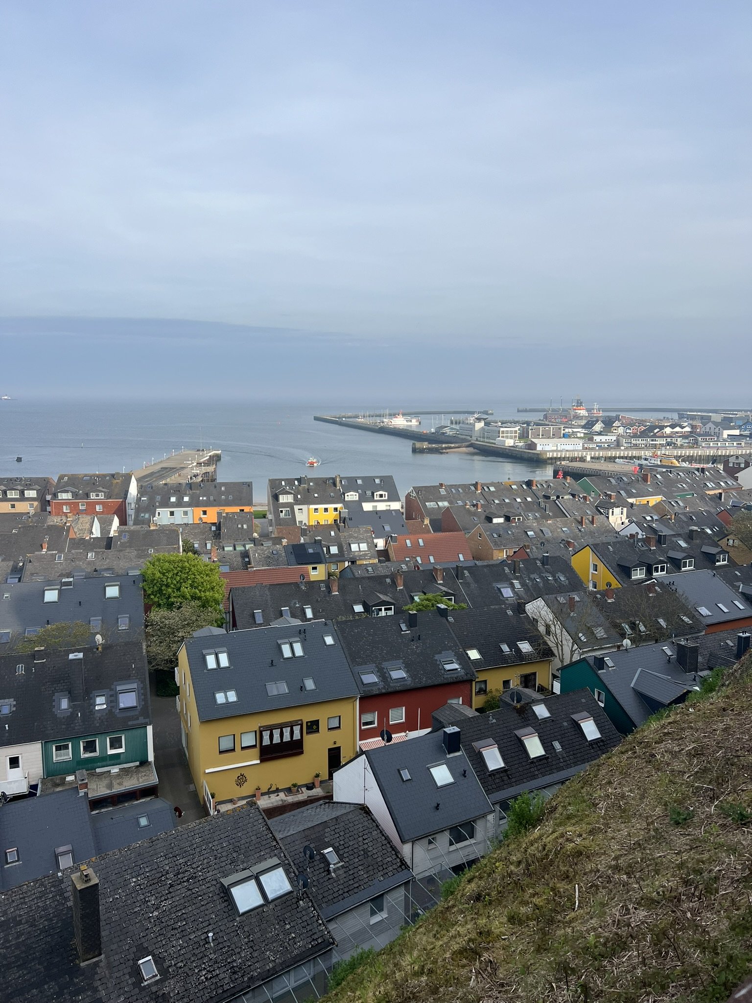
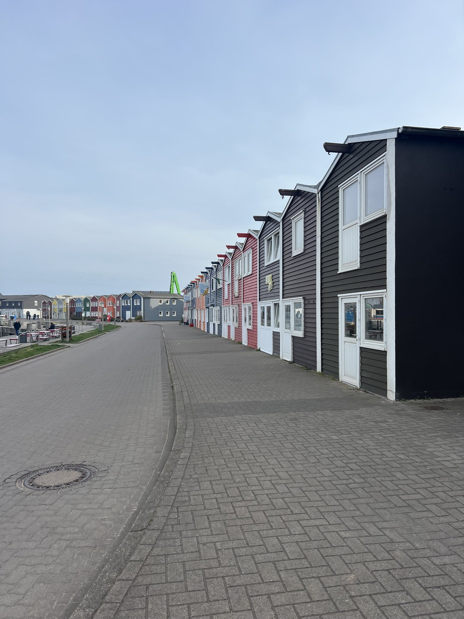
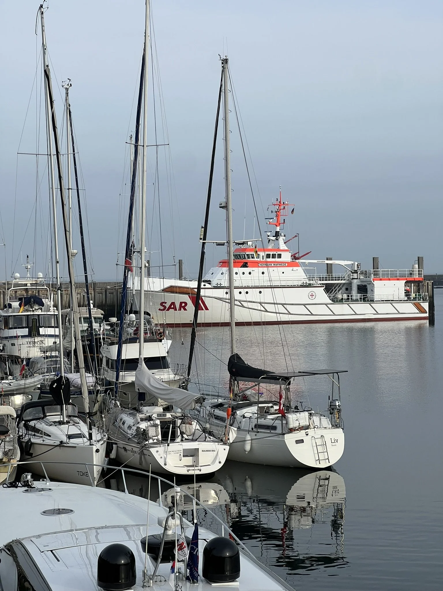
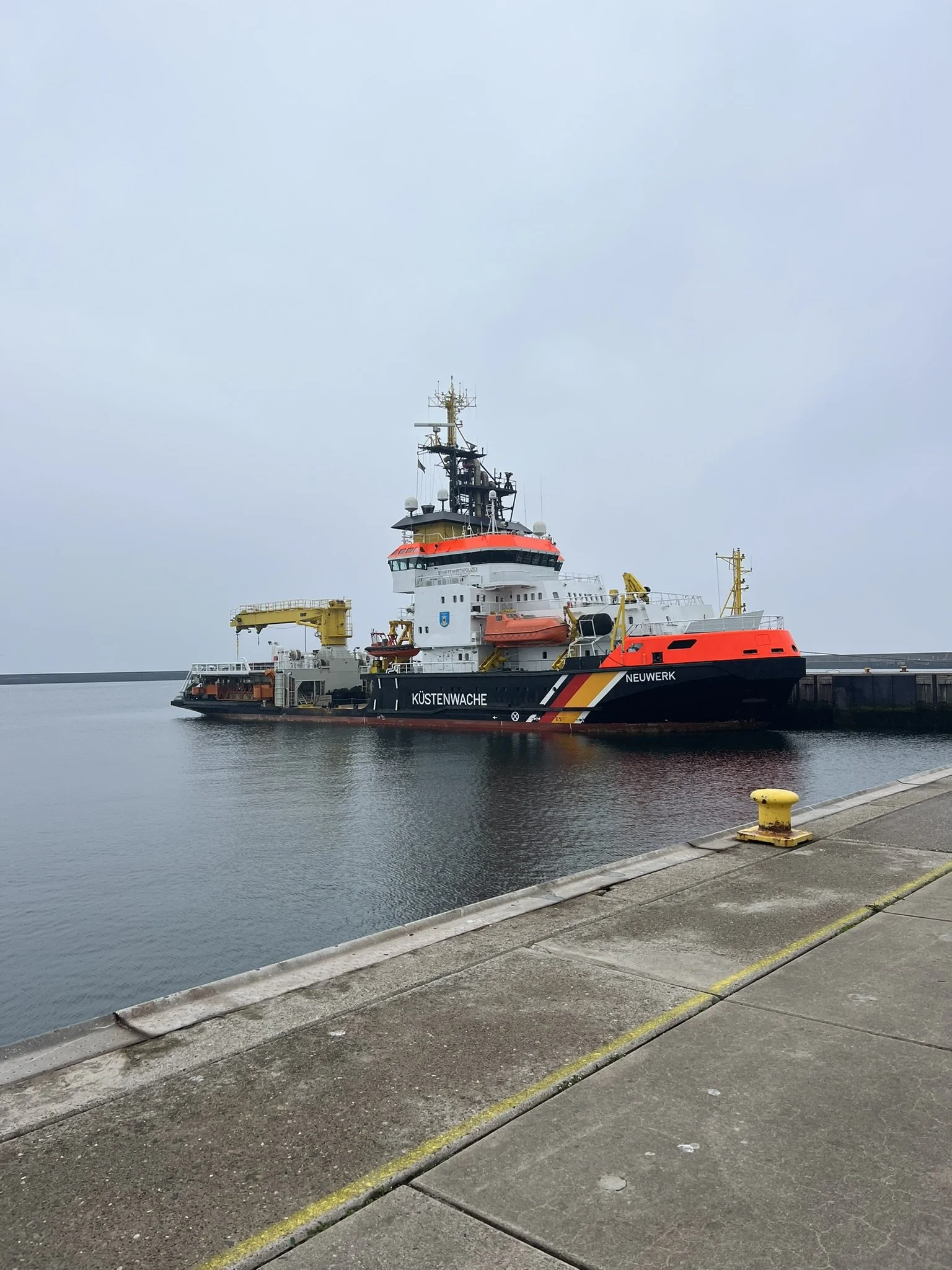
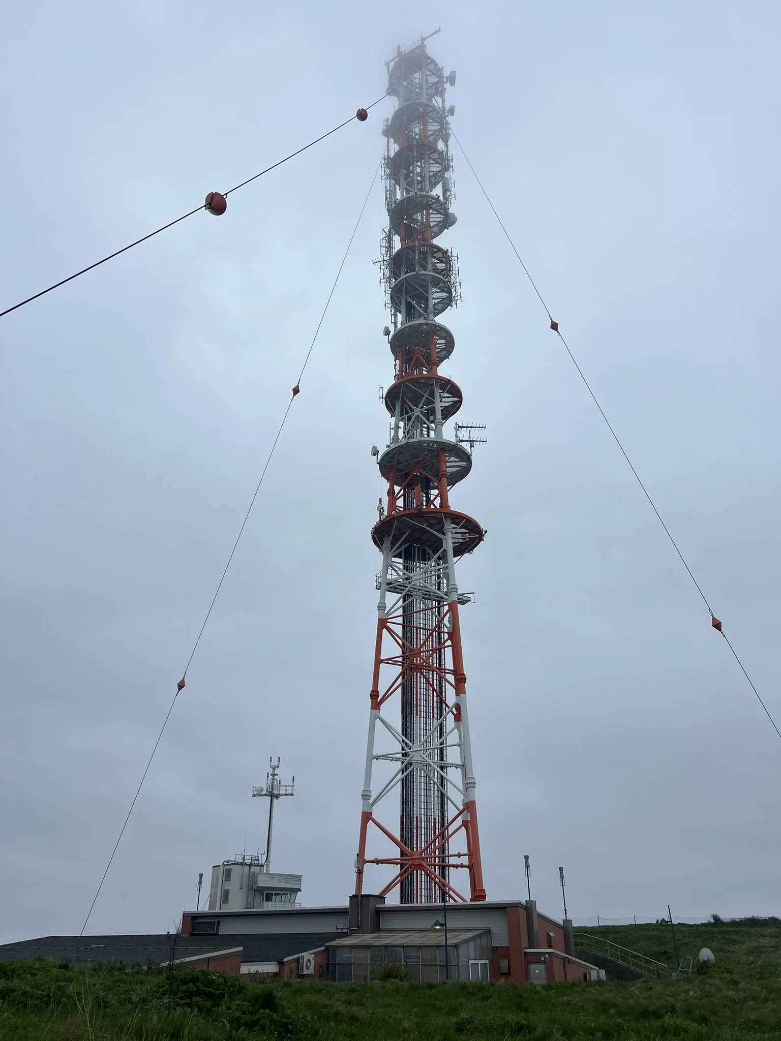
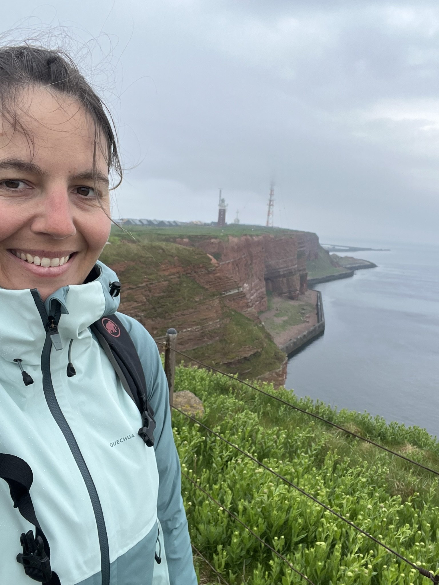
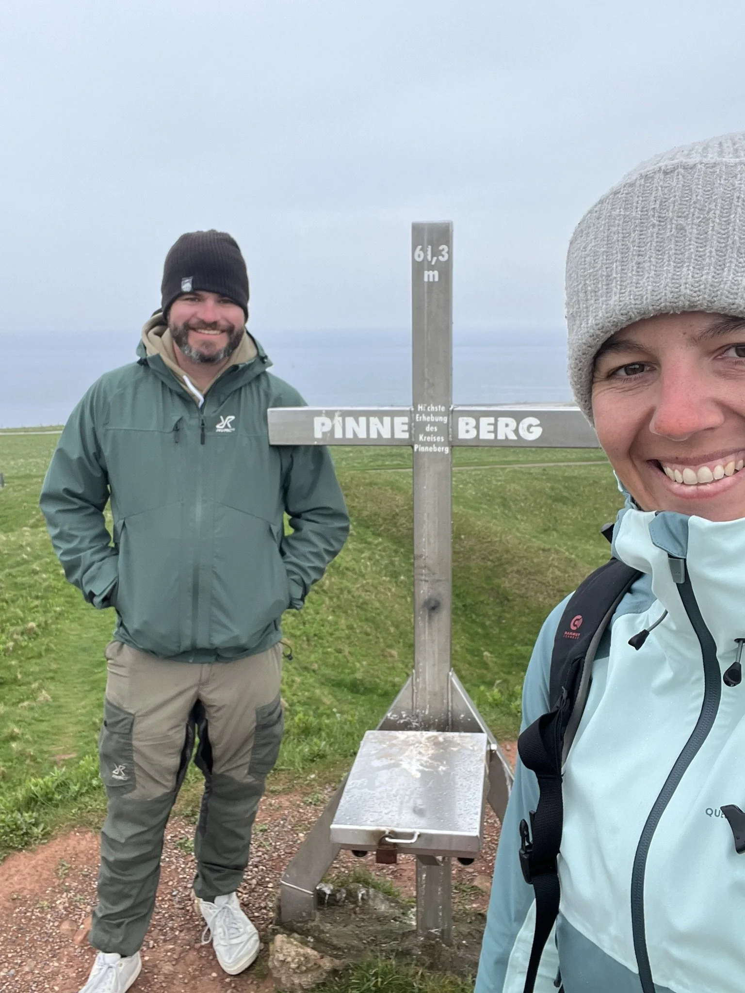
Arriving in Helgoland, we took a day off to explore this very unique island. It has a rich history because of its strategic location. Once ruled by Denmark, it became British in 1807 before being ceded to Germany in 1890. After serving as a naval base and being heavily bombed and occupied by the Allies during World War II, the island was returned to Germany in 1952 and rebuilt by its returning residents.
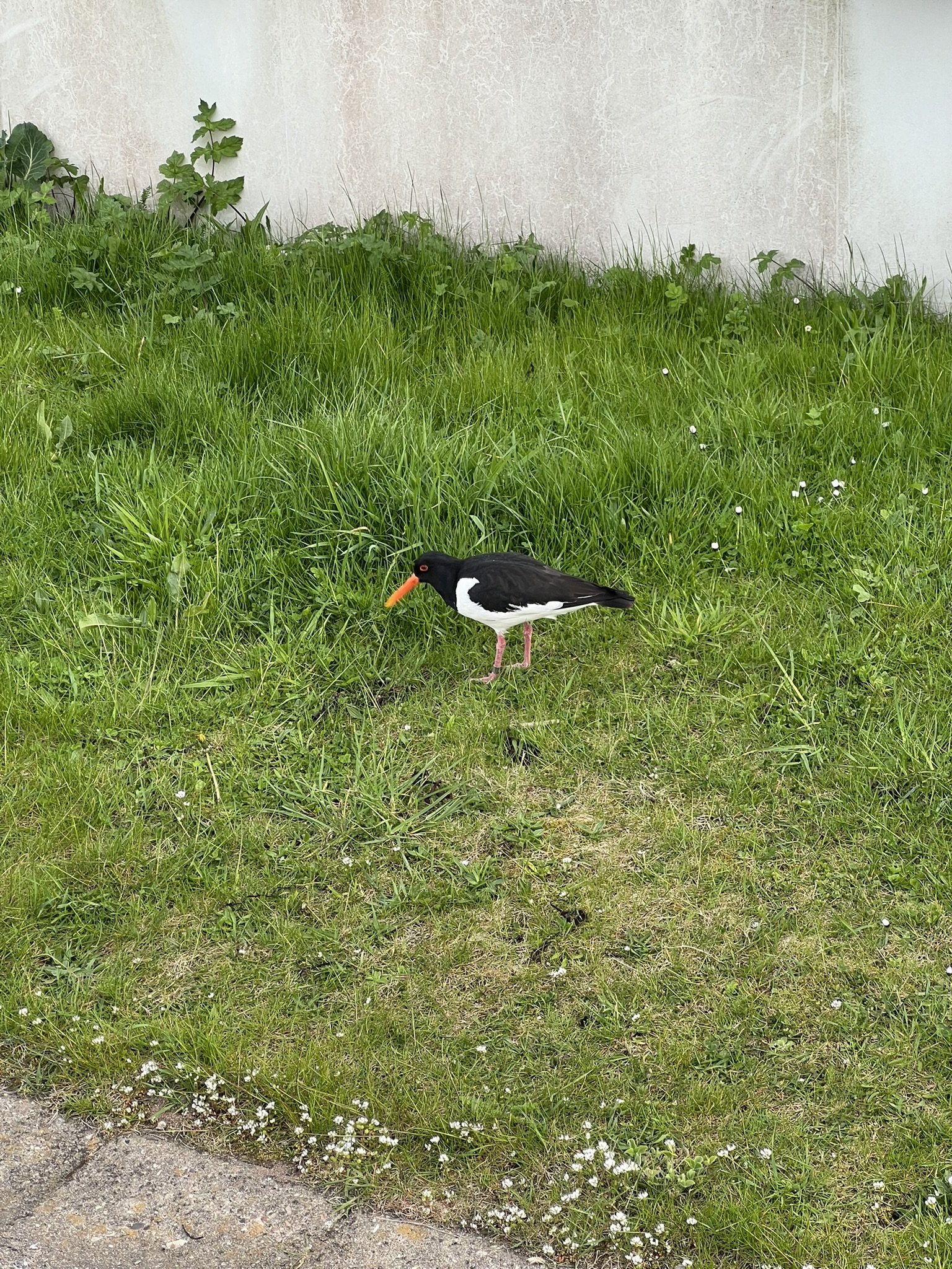
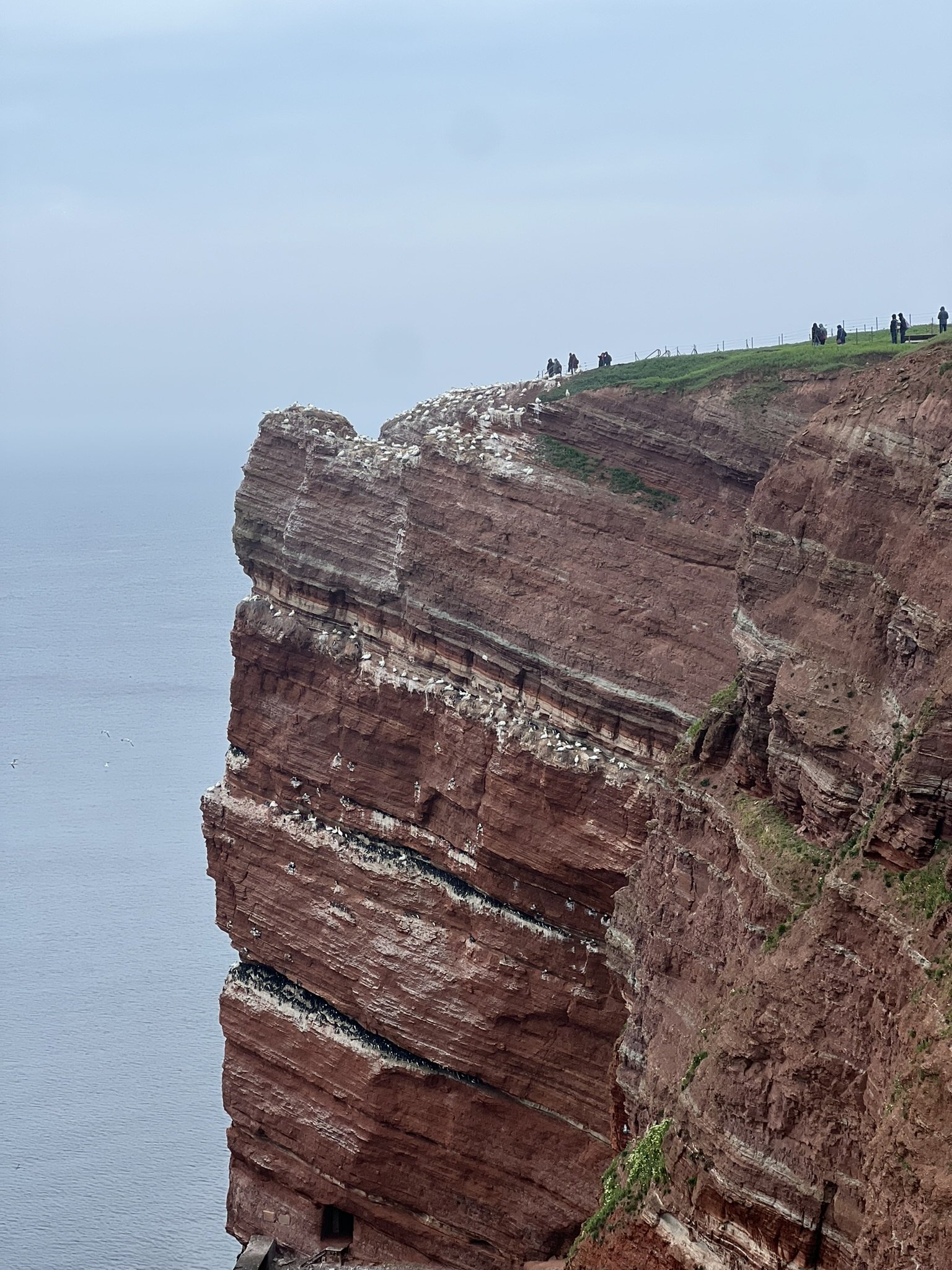
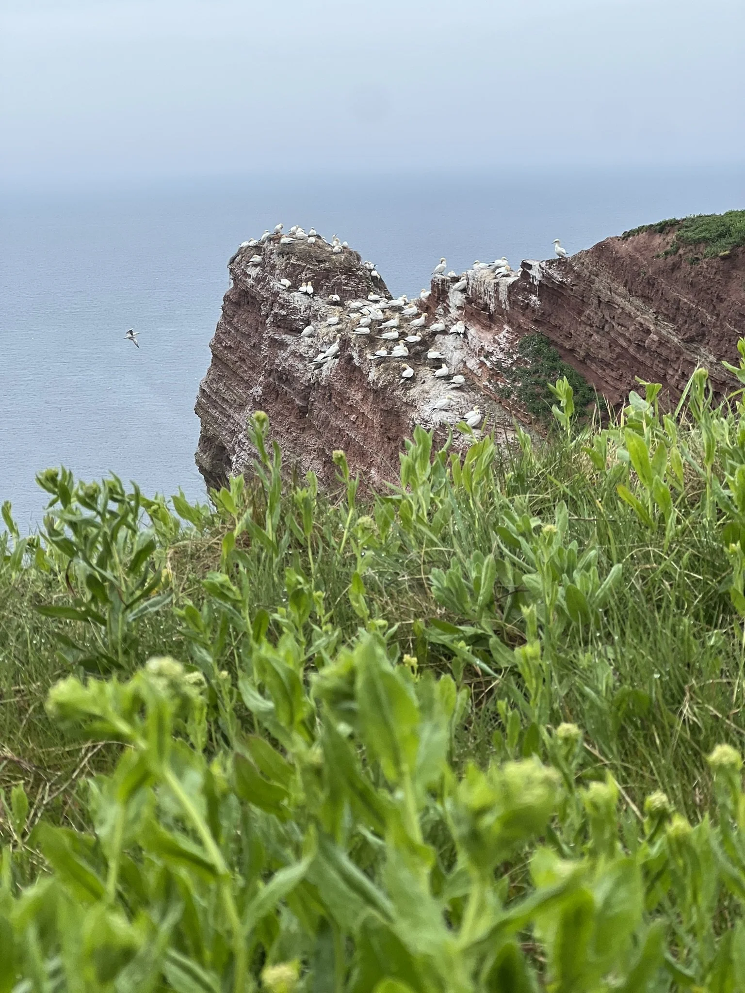
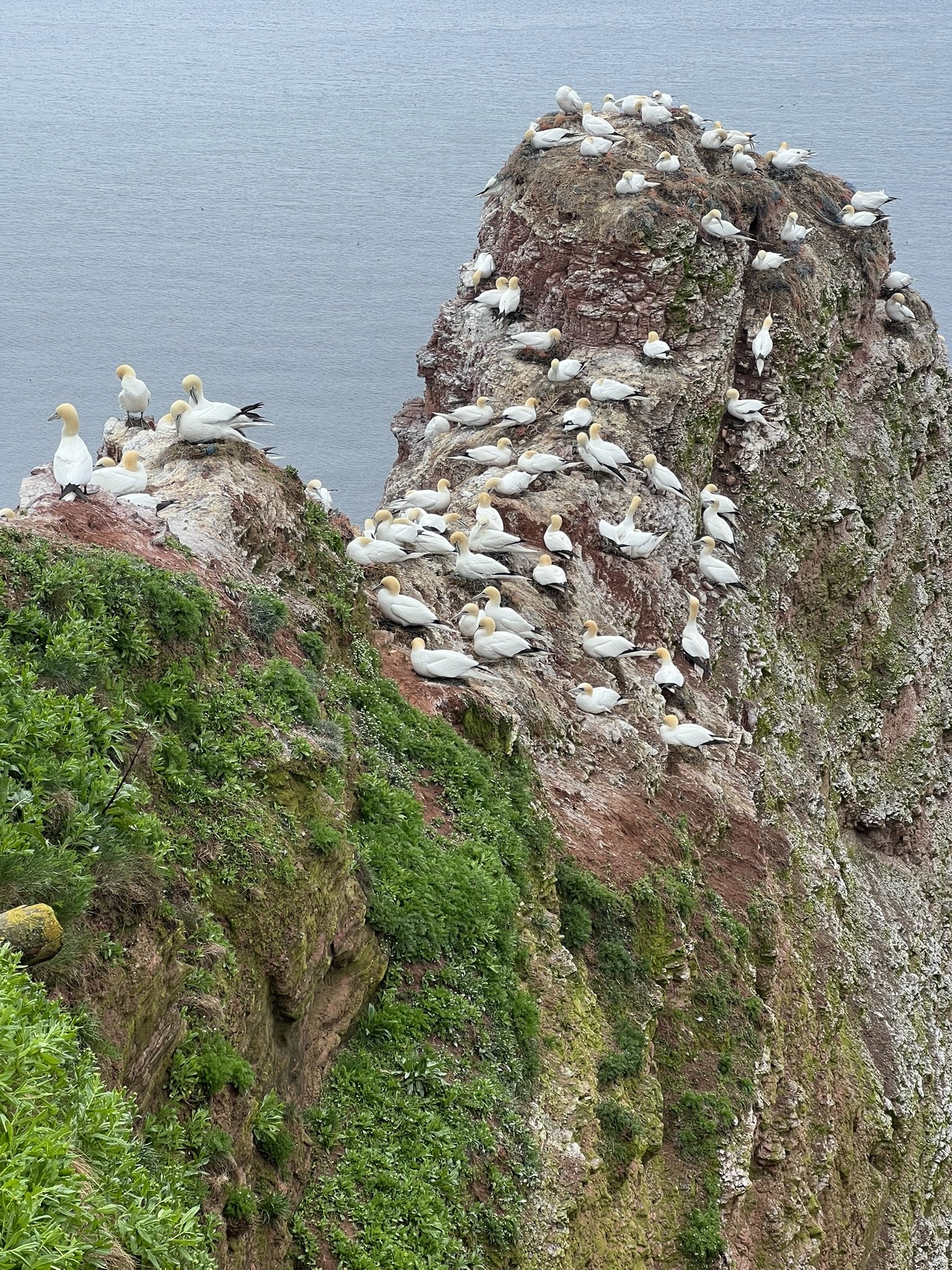
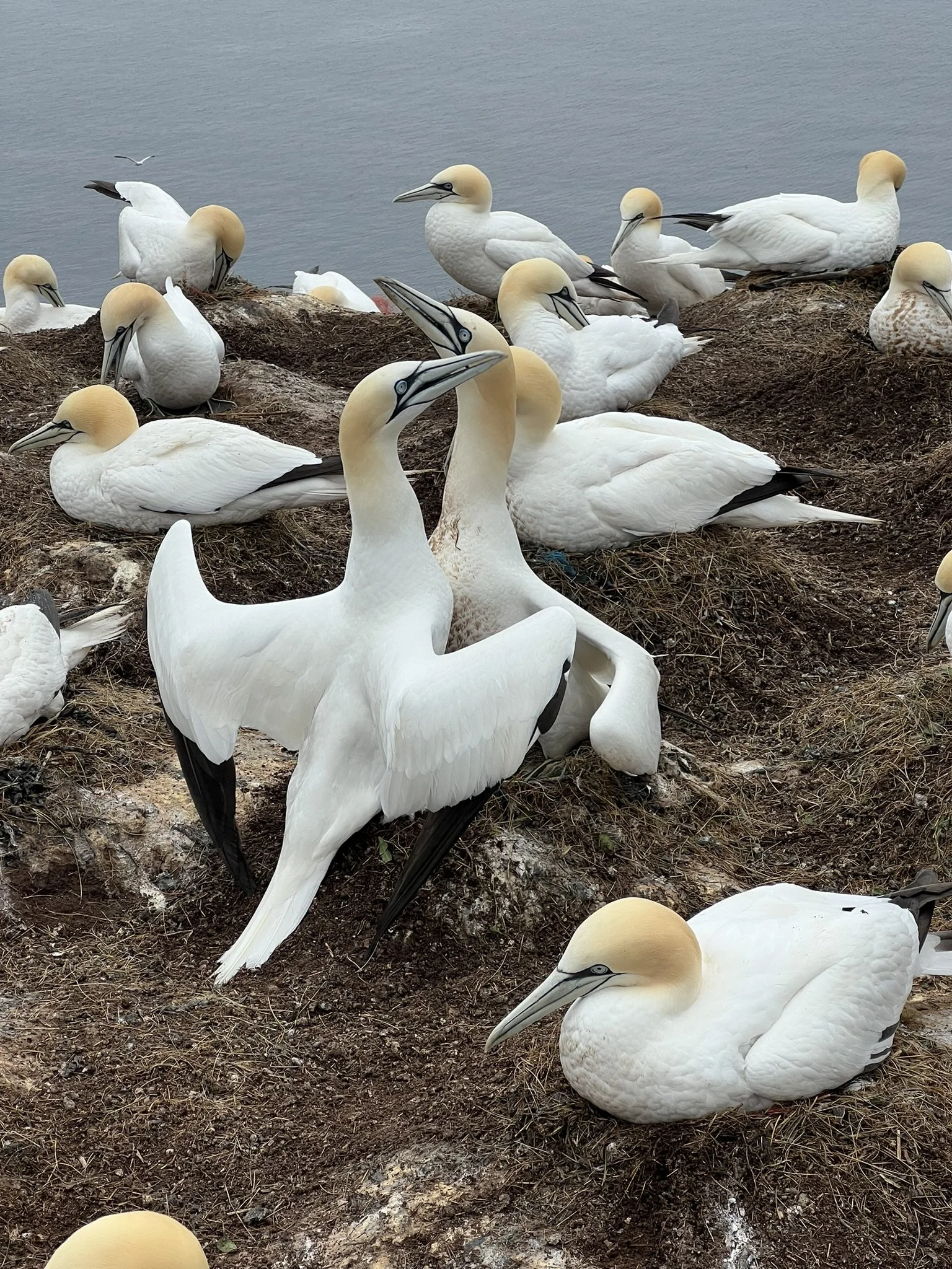
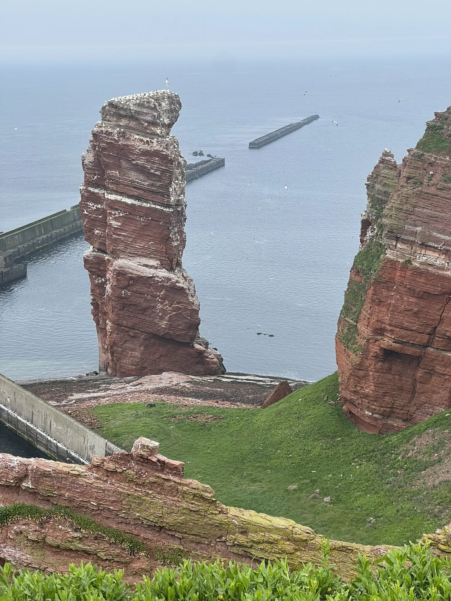
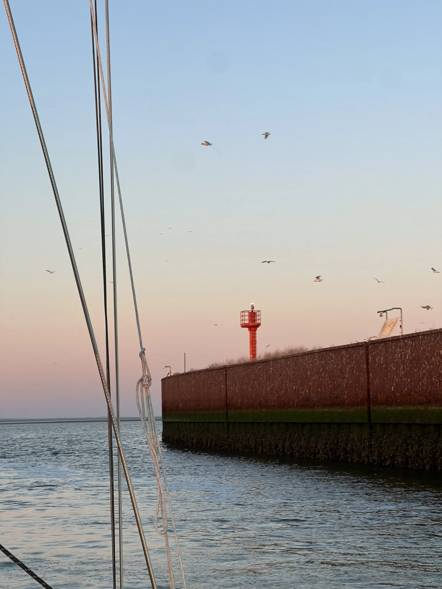
Today, Helgoland is best known for its dramatic red sandstone cliffs, thriving seabird colonies, and grey seals. Every year, thousands of northern gannets, guillemots, kittiwakes, and other seabirds nest along the island’s cliffs, making it one of Germany’s most important birdwatching destinations.
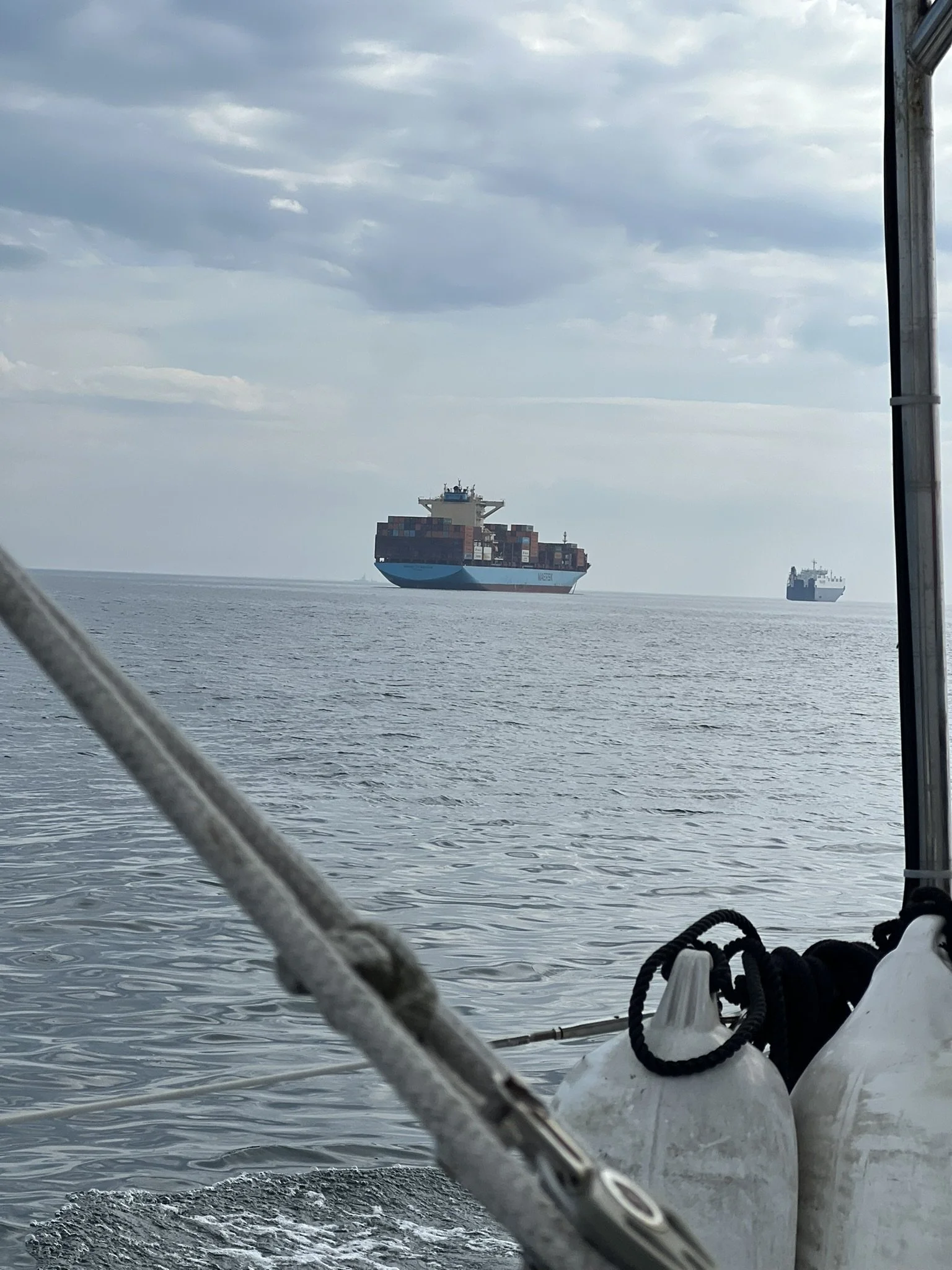
If you want to know whether the way back from Helgoland was as smooth as the way there, and how we crossed the busiest shipping canal in the world, you’ll have to check out our next post.
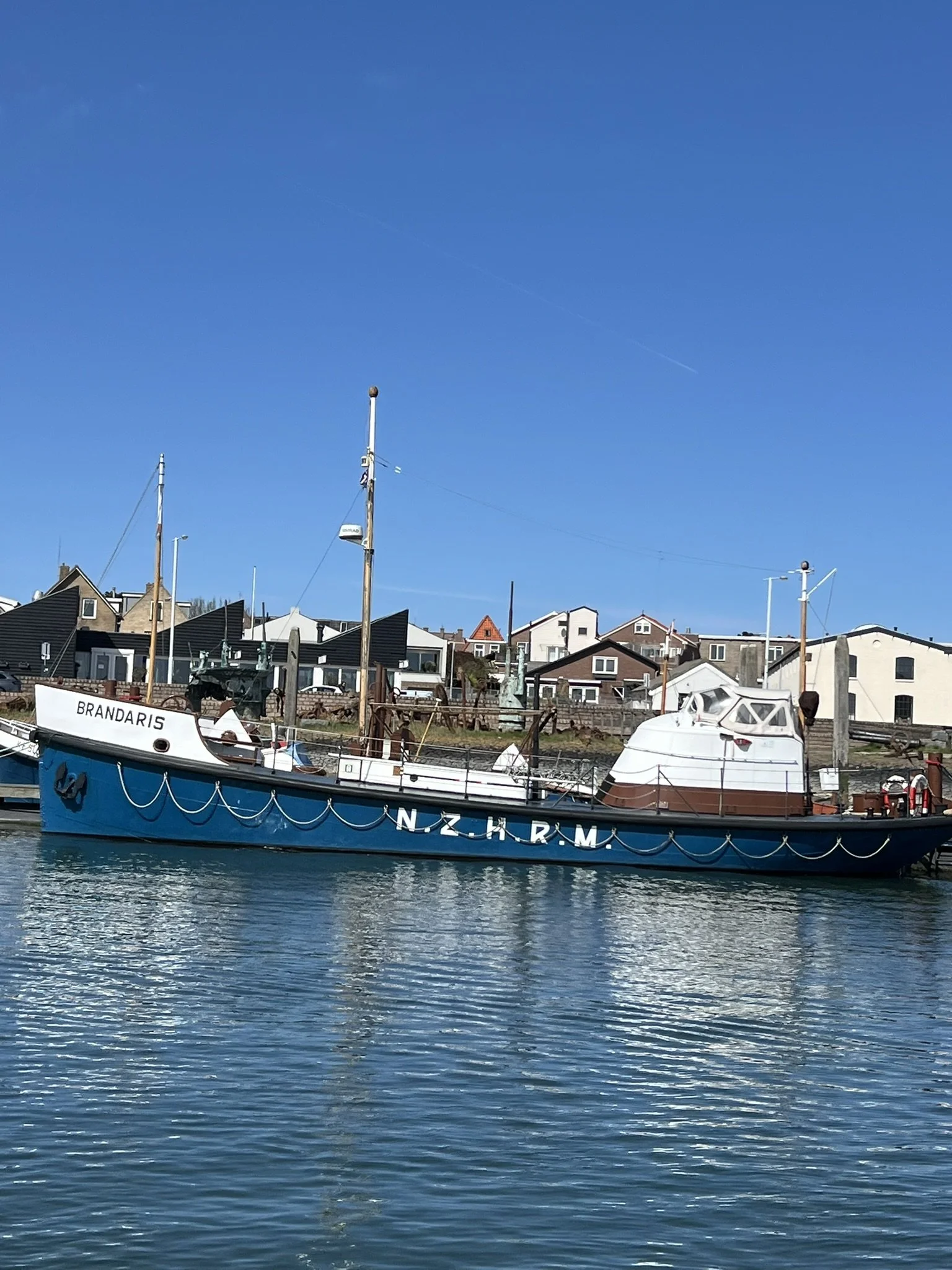
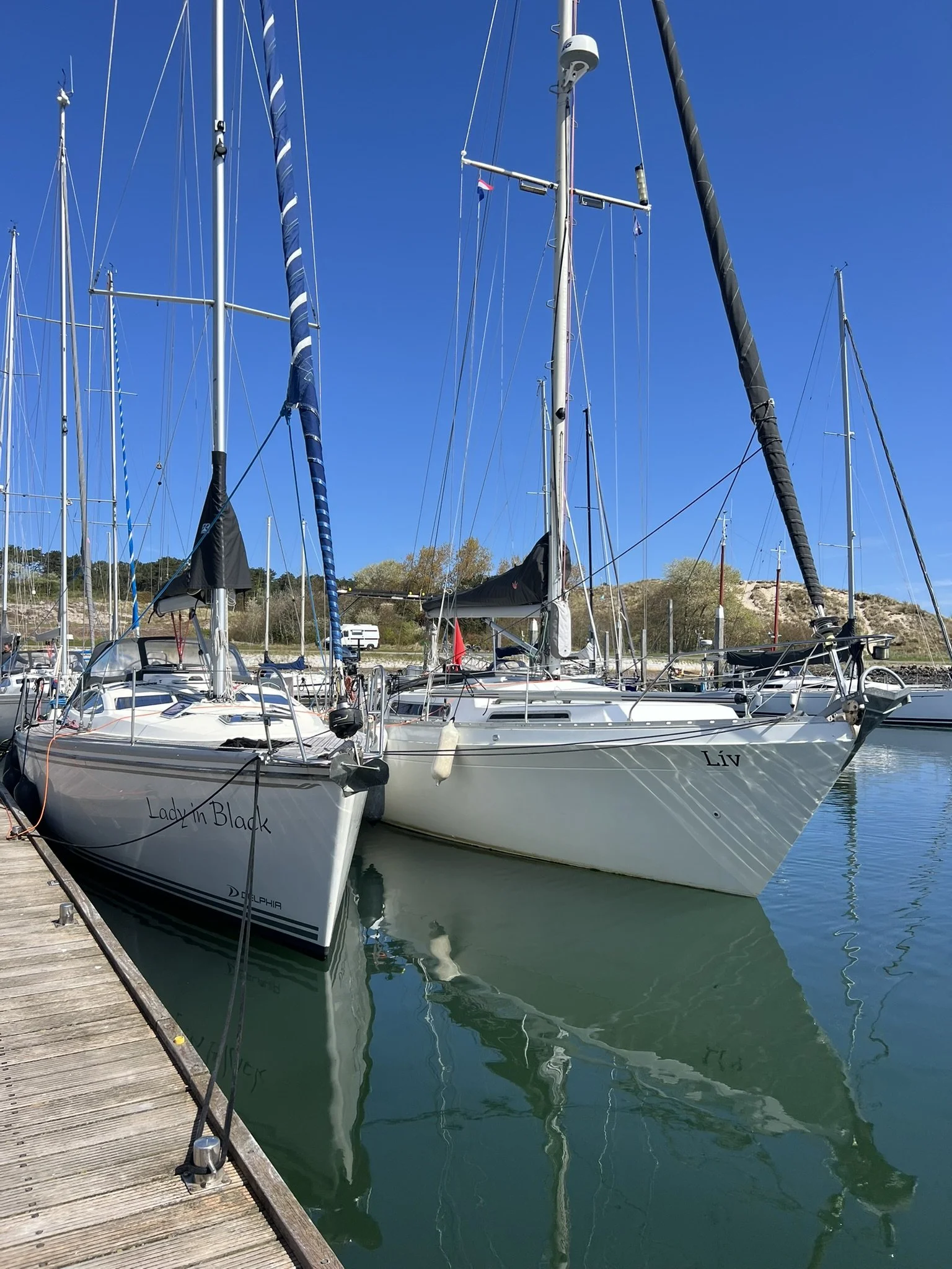
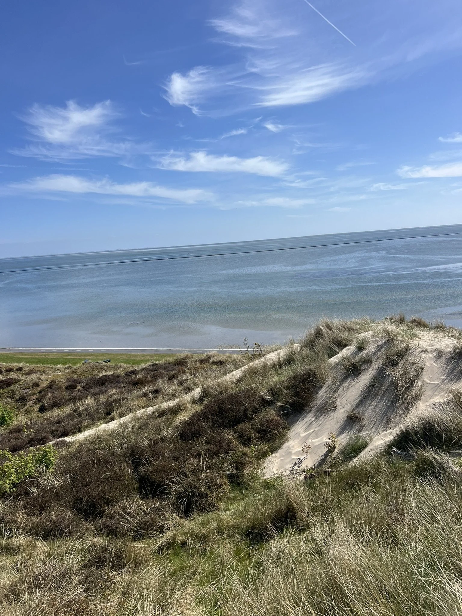
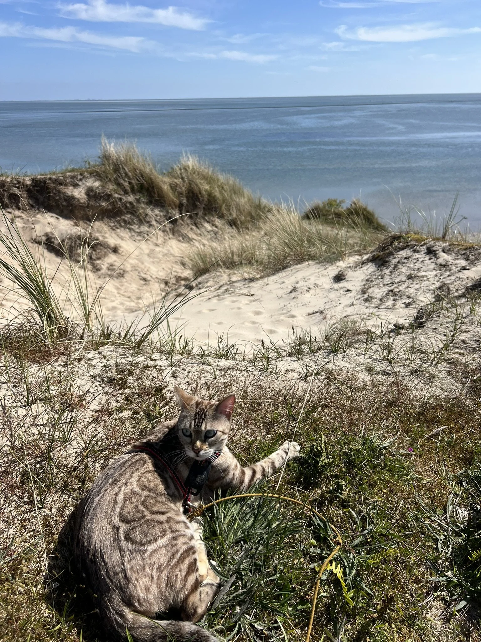
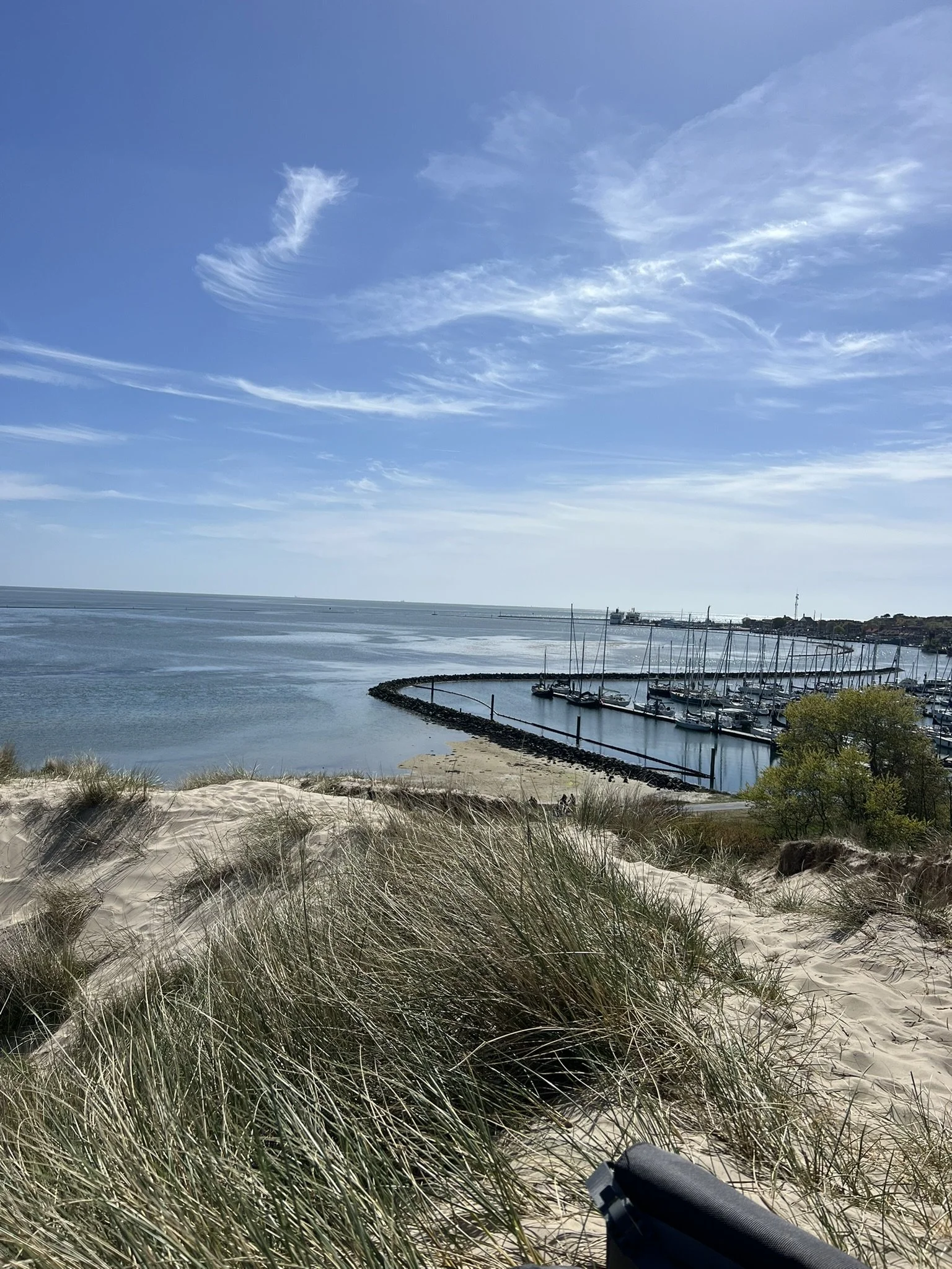
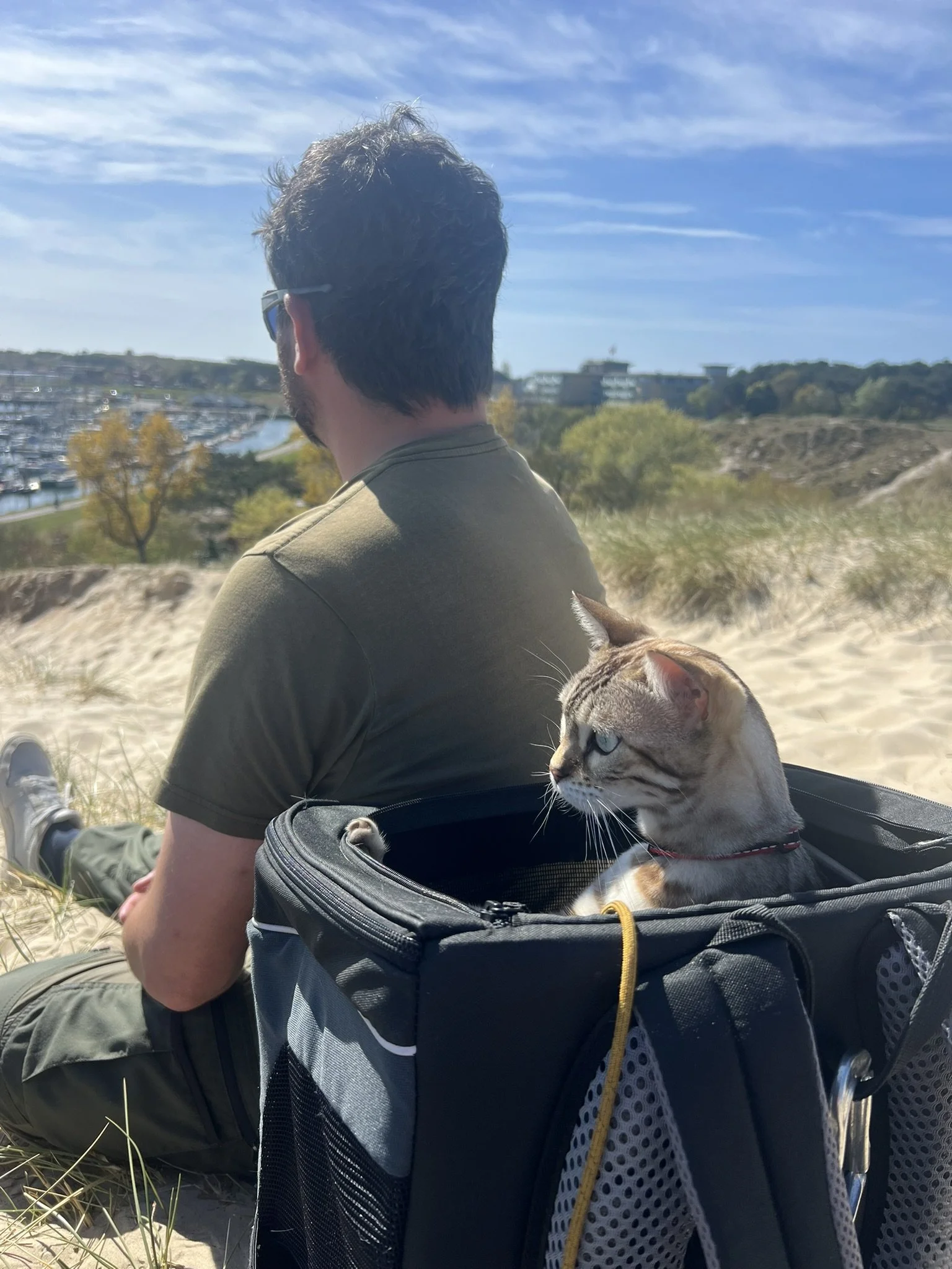
Day 15: Harlingen NL - Terschelling NL
Day 16: Terschelling NL - Lauwersoog NL
Day 17-19: Lauwersoog NL

Day 20: Lauwersoog NL - Borkum DE
Day 21: Borkum DE - Helgoland DE
Day 22: Helgoland DE